Gaiskogel, Mountain summit in Sellrain mountains, Austria
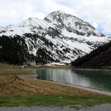
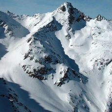
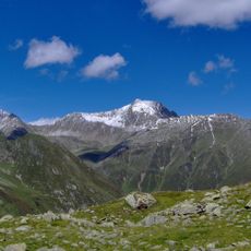
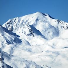
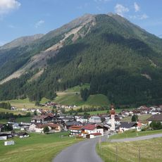
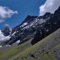
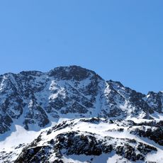
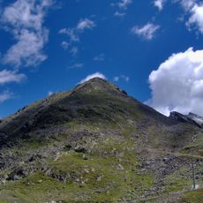
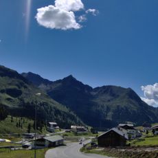
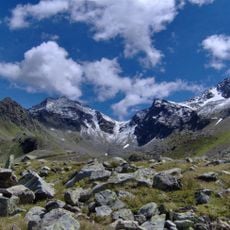
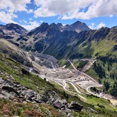
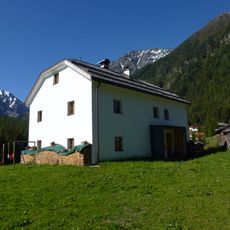
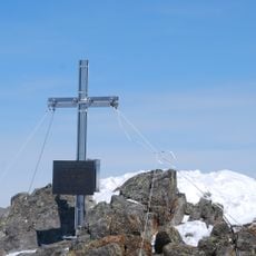
Gaiskogel is a pointed mountain summit in the Stubaier Alps reaching 2820 meters high. The peak can be seen from several mountain huts and lodges scattered across the surrounding valleys, and hikers can reach it through multiple trails and climbing routes of varying difficulty.
The mountain sits at the boundary between three Tyrolean municipalities: Silz, Sankt Sigmund im Sellrain, and Stams. This position made it a natural landmark and border marker in the region over time.
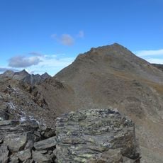
The mountain is first recorded around 1400 as "Gaiskogel" in a parish boundary description of Ampass kept in the archive of Stift Wilten. The name refers to a mountain in the Stubai Alps, and the summit region is rocky on all sides, with scree below 2600 m.
The best climbing season runs from June to October when trail conditions are most stable. Visitors should wear sturdy hiking boots and bring weather-appropriate layers since conditions at elevation can change rapidly.
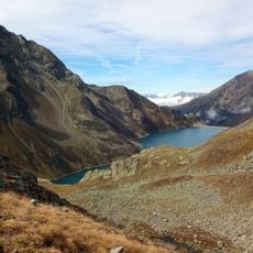
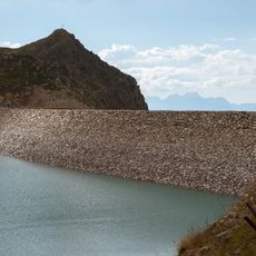
The normal route starts at Kühtai, passes the Plenderlesseen lakes and the Gaißkogelscharte (2658 m), then climbs steep blockwork of grade I to the summit. In winter this ascent is done as a ski tour, with descents usually through the steep north-side gullies and cirques to the Zirmbachalm or Haggen. The harder west approach over the Plenderlesseekopf and west ridge is graded II–III.
The community of curious travelers
AroundUs brings together thousands of curated places, local tips, and hidden gems, enriched daily by 94,025 contributors worldwide.