
Brunnberg, field name in the Waldviertel in Lower Austria
Location: Schrems
Elevation above the sea: 555 m
GPS coordinates: 48.78972,15.10861
Latest update: March 3, 2025 19:51

Himmelsleiter
1.3 km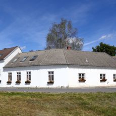
Waldviertler Hoftheater
3.2 km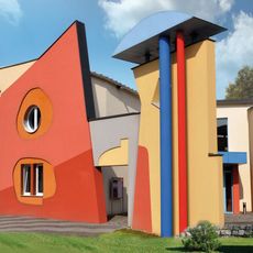
Kunstmuseum Waldviertel
3 km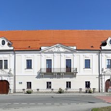
Schloss Schrems
3.1 km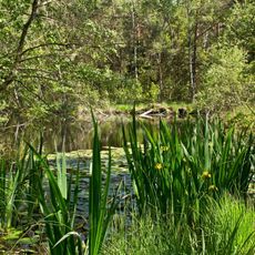
Naturpark Hochmoor Schrems
1.1 km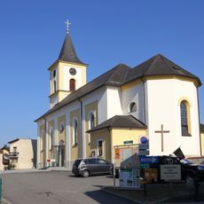
Pfarrkirche Mariä Himmelfahrt, Schrems
2.9 km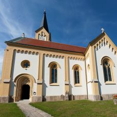
Saint Giles Church
1.5 km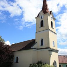
Ortskapelle Eulenbach
3.3 km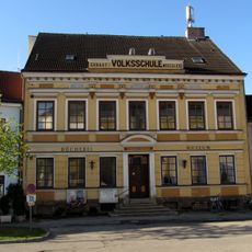
Heimatmuseum, ehem. Schule
2.9 km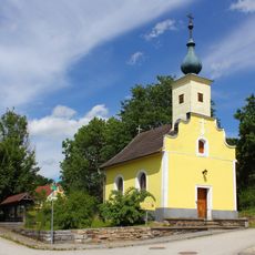
Ortskapelle Ehrenhöbarten
2.4 km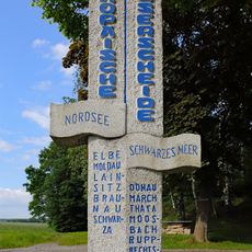
Europäische Wasserscheide
2.4 km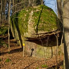
Granite boulder in Niederschrems
3.7 km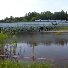
Unterwasserreich, Schrems
1.8 km
Steinbruch Hartberg
3.1 km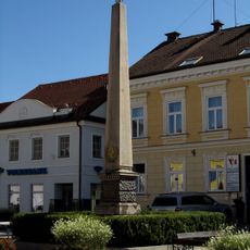
Kaiser-Franz-Joseph-Gedächtnisobelisk, Schrems
2.8 km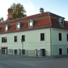
Former brewery Schrems
3 km
Stadtbücherei Schrems
2.9 km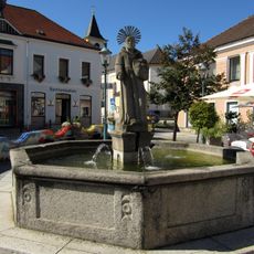
Felixbrunnen, Schrems
2.9 km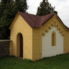
Mausoleum
1.6 km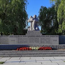
Kriegerdenkmal
3.1 km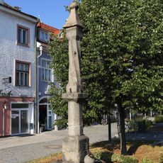
Pranger Schrems
2.8 km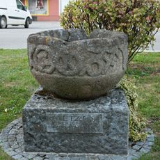
Kornmetzen Schrems
2.8 km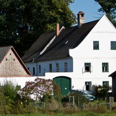
Ehem. Industriemühle in Kurzschwarza
1.6 km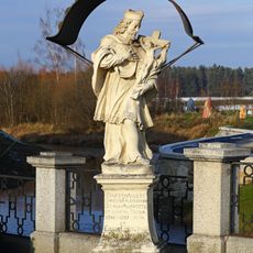
Johannes Nepomuk, Schrems
3.1 km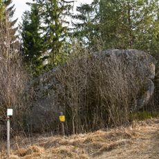
Wasserstein Rock
3.5 km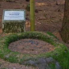
Felsgebilde Taufstein
2.7 km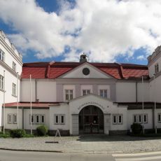
Kulturhaus, Schrems
2.9 km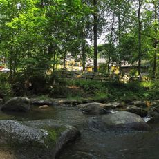
Breakthrough of Braunaubach creek
3.7 kmVisited this place? Tap the stars to rate it and share your experience / photos with the community! Try now! You can cancel it anytime.
Discover hidden gems everywhere you go!
From secret cafés to breathtaking viewpoints, skip the crowded tourist spots and find places that match your style. Our app makes it easy with voice search, smart filtering, route optimization, and insider tips from travelers worldwide. Download now for the complete mobile experience.

A unique approach to discovering new places❞
— Le Figaro
All the places worth exploring❞
— France Info
A tailor-made excursion in just a few clicks❞
— 20 Minutes