
Strannerhöhe, mountain in the Gurktal Alps in Styria
Location: Stadl-Predlitz
Elevation above the sea: 2,116 m
GPS coordinates: 47.02557,13.94929
Latest update: August 21, 2025 16:28
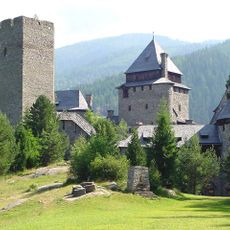
Burg Finstergrün
9.7 km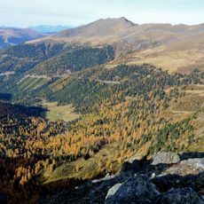
Eisenhut
8.3 km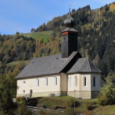
Saints Primus and Felician church in Predlitz, Austria
5.6 km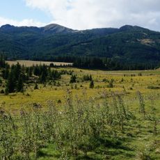
Flattnitzbach-Hochmoor
8.5 km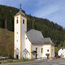
Parish church in Turrach
8.5 km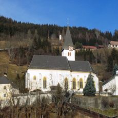
Pfarrkirche hl. Johannes der Täufer, Stadl an der Mur
7.5 km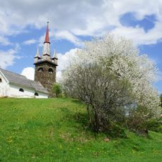
Watschallerkapelle mit Resten einer Wehrmauer, Predlitz-Turrach
5.6 km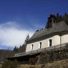
Filialkirche Maria Hollenstein, Ramingstein
6.6 km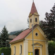
Predlitz - Messkapelle
5.9 km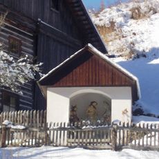
Czernikapelle
8.7 km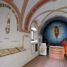
Cemetery chapel Ramingstein
9.7 km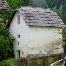
Platzerkeusche und Kornkasten Kendlbruck
7 km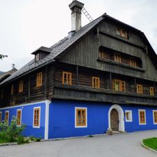
Bauernhaus, Raffelhube
7 km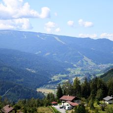
Rosenkranzhöhe
8.3 km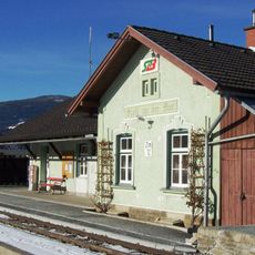
Bahnhof Stadl an der Mur
7 km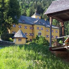
Schloss Goppelsbach, Stadl an der Mur
7.2 km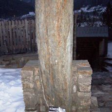
Römischer Meilenstein
7.5 km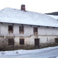
Altes Schmiedhaus
6.7 km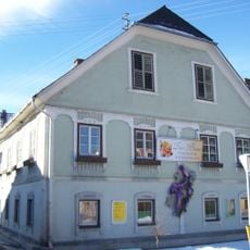
Wohn- und Geschäftshaus, ehem. Kindergarten (eingeschränkt auf die Außenerscheinung)
7.2 km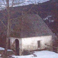
Pesthäusl, Stadl an der Mur
7.5 km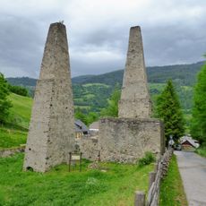
Hochofen Ramingstein
6.9 km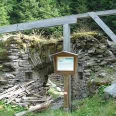
Kalkbrennofen
9.8 km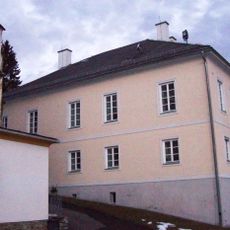
Pfarrhof Stadl an der Mur
7.5 km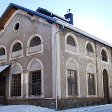
Erzröste
8.5 km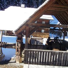
Schwanzhammer samt Wasserrad
8.8 km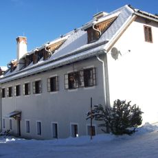
Ehem. Mühle und Schmiede
8.4 km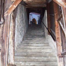
Überdachter Stiegenaufgang
7.5 km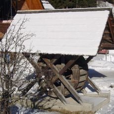
Wasserrad einer ehem. Getreidemühle
8.8 kmReviews
Visited this place? Tap the stars to rate it and share your experience / photos with the community! Try now! You can cancel it anytime.
Discover hidden gems everywhere you go!
From secret cafés to breathtaking viewpoints, skip the crowded tourist spots and find places that match your style. Our app makes it easy with voice search, smart filtering, route optimization, and insider tips from travelers worldwide. Download now for the complete mobile experience.

A unique approach to discovering new places❞
— Le Figaro
All the places worth exploring❞
— France Info
A tailor-made excursion in just a few clicks❞
— 20 Minutes