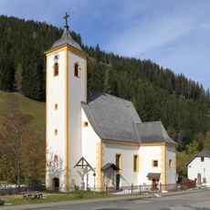
Eisenhut, Mountain summit in Stadl-Predlitz, Austria
Description
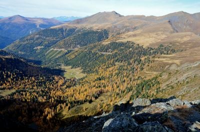
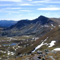
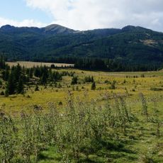
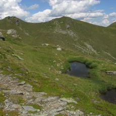
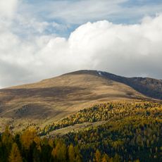
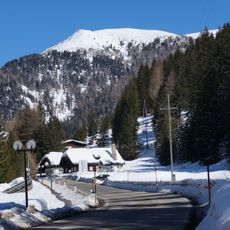
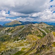
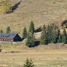
Eisenhut is a mountain summit in the Gurktal Alps standing at around 2,440 meters high. It provides views across the surrounding alpine landscape and serves as an excellent vantage point for observing the central eastern alpine regions.
History
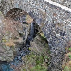
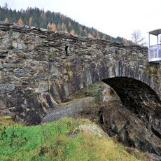
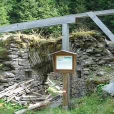
The mountain's name comes from historical iron ore mining that took place near Turrach. This mining activity shaped the economic life of the region and left its mark on the alpine landscape.
Culture
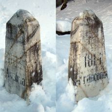
The summit brings together mountain walkers from three Austrian regions, each with distinct local customs and traditions. People from Styria, Carinthia, and Salzburg meet here and share their regional heritage.
Practical
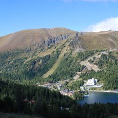
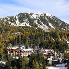
The summit can be reached via multiple trails starting from Turracher Höhe Pass, all clearly marked for hikers. Routes vary in difficulty, so choose one that matches your fitness level and available time.
Did you know?
The summit sits at the boundary where three Austrian states meet, creating a special meeting point in the alpine region. Standing here means you are at the intersection of Styria, Carinthia, and Salzburg all at once.
AroundUs brings together thousands of curated places, local tips, and hidden gems, enriched daily by 60,000 contributors worldwide. Discover all places nearby (Stadl-Predlitz).
Königstuhl
11 km
Rinsennock
7.6 km
Schoberriegel
5.3 km
Filialkirche heiliger Johannes der Täufer
7.9 km
Saint Lawrence Church (Reichenau, Kärnten)
10.6 km
Filialkirche Heilige Anna, Sankt Lorenzen in Reichenau
10.4 km
Pfarrkirche hl. Martin, Ebene Reichenau
11.2 km
Flattnitzbach-Hochmoor
7 km
Parish church in Turrach
3.5 km
Czernikapelle
3.6 km
Kleiner Königstuhl
11.3 km
Großer Speikkofel
6.5 km
Teufelsbrücke, Reichenau
9.8 km
Boundary stone, Ebene Reichenau
11.4 km
Straßenbrücke, Teufelsbrücke
9.8 km
Stubennock
11.8 km
Kalkbrennofen
6.1 km
Erzröste
3.4 km
Amtsgebäude, Flattnitz 3
8.1 km
Pfarrhof Sankt Lorenzen
10.6 km
Reißeck
7.5 km
Wayside shrine of Saint John Nepomuk, Waidach
11.9 km
Teufelsbrücke, Reichenau
9.8 km
Schwanzhammer samt Wasserrad
3.6 km
Wasserrad einer ehem. Getreidemühle
3.6 km
Ehem. Mühle und Schmiede
3.5 km
Pfarrhof
3.4 km
Seebachern
9 kmDiscover hidden gems everywhere you go!
From secret cafés to breathtaking viewpoints, skip the crowded tourist spots and find places that match your style. Our app makes it easy with voice search, smart filtering, route optimization, and insider tips from travelers worldwide. Download now for the complete mobile experience.
A unique approach to discovering new places❞
— Le Figaro
All the places worth exploring❞
— France Info
A tailor-made excursion in just a few clicks❞
— 20 Minutes