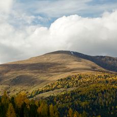
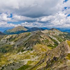
Rinsennock, Mountain summit in Gurktal Alps, Austria.
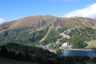
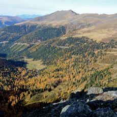
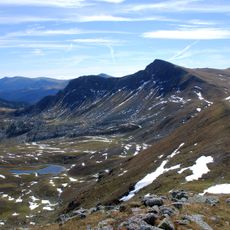
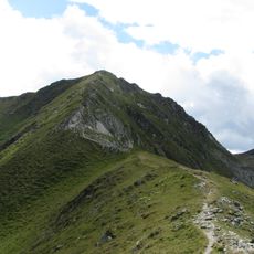
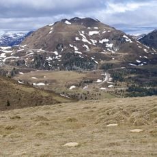
Rinsennock is a mountain in the Nock range that rises to 2,334 meters above sea level and features alpine meadows alongside exposed rock formations. The route to the summit follows natural mountain paths through varying landscapes to reach the top.
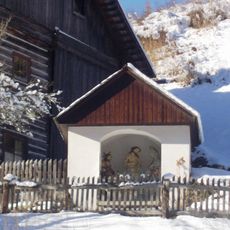
Mountain paths across this peak have served as connecting routes between communities in Carinthia and Styria since medieval times. This passage was an important crossing for travelers and merchants moving through the Alps.
Local hiking groups maintain the mountain paths here, reflecting a long tradition of Alpine climbing in this region. Visitors encounter traces of this established mountain culture that continues to shape how people connect with these peaks.
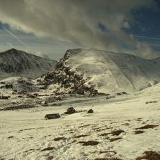
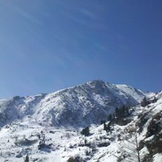
Reaching the summit requires solid hiking boots and experience in mountain walking, especially in changing weather conditions. The best time to visit is during the summer months when the paths are passable and visibility is clear.
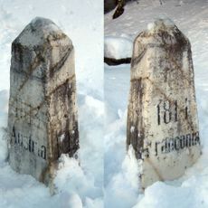
The summit marks a natural border point between Carinthia and Upper Styria, showing different rock formations from both regions at its highest point. This geological feature is visible on the rocks themselves and reveals the complex earth history of the area.
The community of curious travelers
AroundUs brings together thousands of curated places, local tips, and hidden gems, enriched daily by 60,000 contributors worldwide.