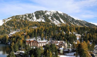
Schoberriegel, Mountain summit in Reichenau and Albeck, Austria.
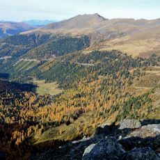
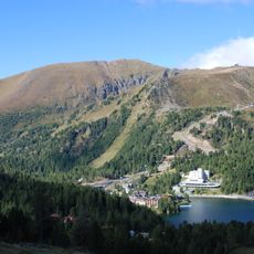
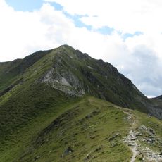
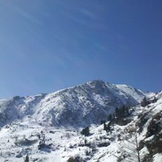
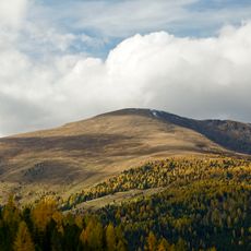
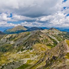
Schoberriegel is a mountain in the Nockberge range that rises to 2,208 meters at the boundary between two municipalities. The peak features steep rocky faces on its western and eastern sides, while its northern ridge slopes more gently upward.
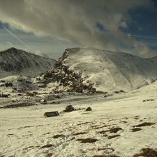
A decommissioned World War II airfield sits near the southeastern section, a remnant of the mountain's military past. This site once served as a base for aerial operations during the conflict.
The summit holds a traditional climbing register where mountaineers record their ascents, a long-standing Alpine custom for documenting mountain achievements. This practice connects visitors across time and creates a shared bond among those who have reached the same peak.
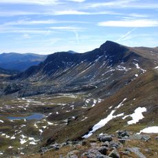
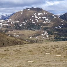
Marked trails from Turracher See lead to the peak via a moderate hike covering about 9.5 kilometers with 484 meters of elevation gain. The route is well-marked and suitable for hikers with basic mountain experience.
The mountain sits at the boundary between two municipalities, serving as a natural administrative border in the Carinthian region. This geographic detail often goes unnoticed by visitors but adds an extra layer to the hiking experience.
The community of curious travelers
AroundUs brings together thousands of curated places, local tips, and hidden gems, enriched daily by 60,000 contributors worldwide.