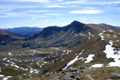
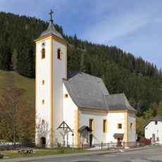
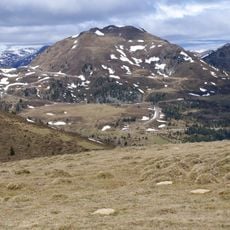
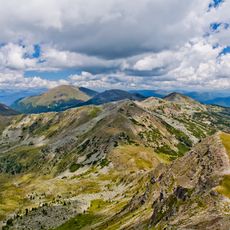
Königstuhl, Mountain summit in Gurktaler Alps, Austria
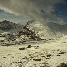
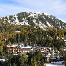
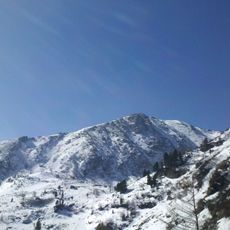
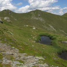
Königstuhl is a mountain summit in the Gurktaler Alps that rises at the intersection of three regional boundaries. The peak stands at 2,336 meters elevation and can be accessed via multiple approaches, with the Dr. Josef-Mehrl-Hütte mountain lodge positioned at 1,730 meters serving as a key reference point.
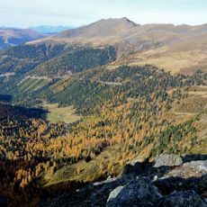
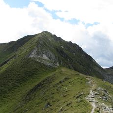
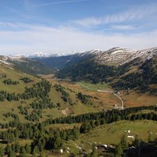
The mountain has served as a natural boundary marker between three Austrian regions for centuries. Its location at this triple junction made it a recognized reference point for travelers and herders moving through the Alpine area.
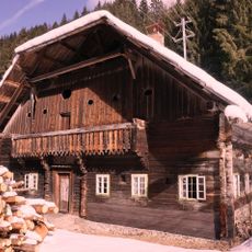
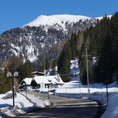
The summit serves as a gathering point for ski touring enthusiasts who traverse traditional Alpine routes during winter months. These paths reflect how local communities have long engaged with the high mountains as part of their way of life.
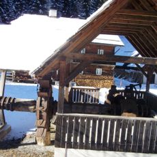
The mountain is reachable via several routes, with parking available near the Dr. Josef-Mehrl-Hütte. Optimal conditions for hiking or skiing occur during periods of stable weather when paths and slopes are safest to traverse.
The ascent to the summit gains roughly 600 meters in elevation from the mountain lodge, making it achievable for visitors with solid endurance. This moderate slope allows people to experience the high alpine landscape at their own pace.
The community of curious travelers
AroundUs brings together thousands of curated places, local tips, and hidden gems, enriched daily by 60,000 contributors worldwide.