Klomnock, Mountain summit in Carinthia, Austria.
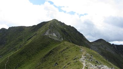
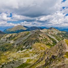
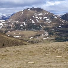
Klomnock is a mountain peak in the Nockberge range reaching 2.331 meters with multiple ridges extending northward toward Schiestelscharte and southwest to Mallnock. These ridges form a continuous mountain crest that links several summits across the landscape.
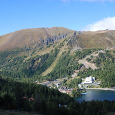
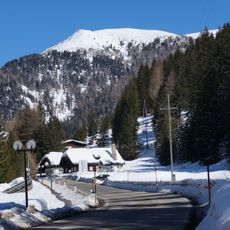
The region was opened up by the construction of the Nockalmstrasse scenic road, which simplified access to the summit and brought more visitors over time. This road connected multiple mountain passes and made the area easily reachable for travelers.
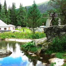
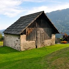
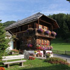
The summit sits within the Nockberge natural park, where traditional Alpine farming and pastoral activities continue in surrounding valleys and meadows today. This living landscape shows how people have inhabited and shaped mountain regions for generations.
Multiple hiking routes lead to the summit, with the north ridge route from Schiestelscharte taking about one hour to reach the top. Good hiking boots and basic fitness are needed since the paths are exposed and can become challenging in bad weather.
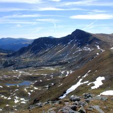
From this peak, visitors can see four major Alpine ranges on clear days: the Schladminger Tauern, Hohe Tauern, Julian Alps, and Karawanke mountains all in one panoramic view. This vista is rare since such expansive distant views are possible from only a few locations in the region.
The community of curious travelers
AroundUs brings together thousands of curated places, local tips, and hidden gems, enriched daily by 60,000 contributors worldwide.