
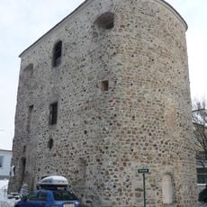
Kommassierungs-Denkmal, monument in Tulln an der Donau, Lower Austria
Location: Tulln an der Donau
Elevation above the sea: 178 m
GPS coordinates: 48.30861,16.04444
Latest update: July 25, 2025 12:27
Comagena
2.6 km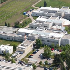
Technopol Tulln
2.1 km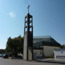
Pfarrkirche St. Severin, Tulln
2.4 km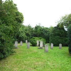
Jewish cemetery Tulln
1.9 km
Haus der Digitalisierung
1.9 km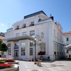
Bankgebäude, Sparkassengebäude
2.6 km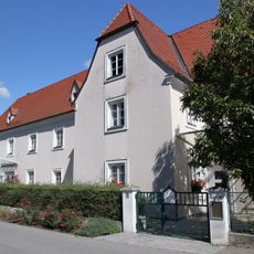
Ehem. Kapuzinerkloster, heute Musikschule u. Kindergarten, ehem. Wurstbauernhaus
2.4 km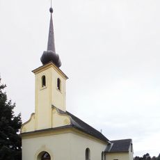
Chapel in Staasdorf
1.6 km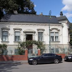
Buchinger-Villa
2.5 km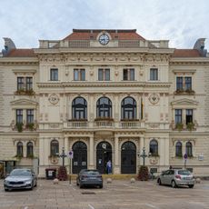
Bezirkshauptmannschaft Tulln
2.6 km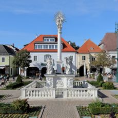
Holy Trinity column, Tulln
2.5 km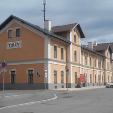
Aufnahmsgebäude Bahnhof Tulln
2.6 km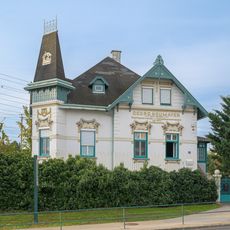
Wilhelmstraße 18, Tulln
2.6 km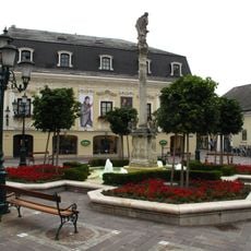
Marian column in Tulln
2.6 km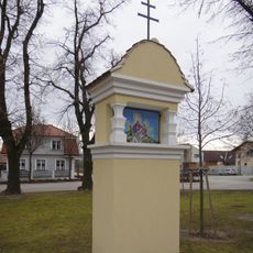
Wayside shrine Frauenhofen Lindenstrasse 5
2.4 km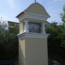
Bildstock Nr. 2 Frauenhofnerstraße
1.7 km
Proschhaus
2.6 km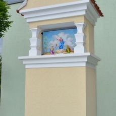
Bildstock Nr. 1 Frauenhofnerstraße
1.8 km
Wayside shrine Gerichtskreuz
2.1 km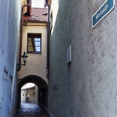
Blutgasse, Tulln
2.6 km
Bildstöcke Frauenhofen, Tulln an der Donau
1.7 km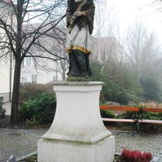
Figur hl. Johannes Nepomuk
2.5 km
Town house Rathausplatz 3
2.6 km
Middle-class house Minoritenplatz 3
2.6 km
Residential building Karlsgasse 17
2.4 km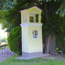
Langenrohr Bildstock 1683
2.4 km
Wohn- und Geschäftshaus, ehem. Babenbergerhof
2.5 km
Apartment building in Tulln Hauptplatz 2
2.6 kmReviews
Visited this place? Tap the stars to rate it and share your experience / photos with the community! Try now! You can cancel it anytime.
Discover hidden gems everywhere you go!
From secret cafés to breathtaking viewpoints, skip the crowded tourist spots and find places that match your style. Our app makes it easy with voice search, smart filtering, route optimization, and insider tips from travelers worldwide. Download now for the complete mobile experience.

A unique approach to discovering new places❞
— Le Figaro
All the places worth exploring❞
— France Info
A tailor-made excursion in just a few clicks❞
— 20 Minutes