
Gabesitten, mountain in the Villgratner Berge in Tyrol
Location: Außervillgraten
Elevation above the sea: 2,665 m
GPS coordinates: 46.81911,12.42393
Latest update: April 14, 2025 07:08

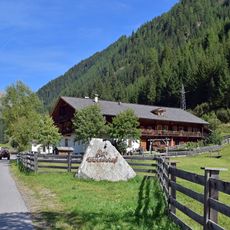
Wurzerhof
2.9 km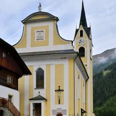
Pfarrkirche hl. Gertraud von Nivelles Außervillgraten
3.7 km
Friedhof Außervillgraten
3.6 km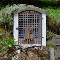
Erschbaumbildstock
3.5 km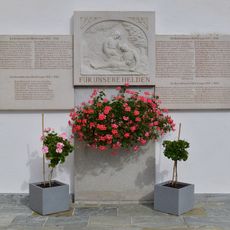
Kriegerdenkmal Außervillgraten
3.7 km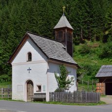
Wurzerkapelle, Außervillgraten
2.9 km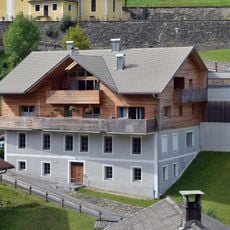
Vereinshaus Außervillgraten
3.6 km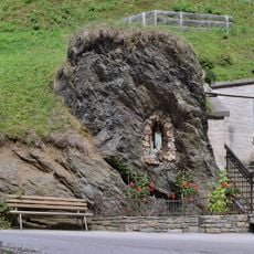
Lourdesgrotte Ausservillgraten
3.6 km
Widum Innervillgraten
4.2 km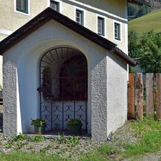
Bildstock Zu den sieben Schmerzen Mariae
4 km
Wandmalerei hl. Florian
3.7 km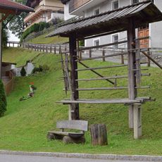
Dorfharpfe Außervillgraten
3.6 km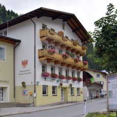
Gemeindebücherei Außervillgraten
3.6 km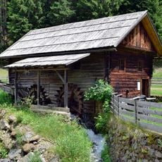
Getreidemühle Winkeltal
2.9 km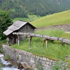
Getreidemühle Ahornberg
4 km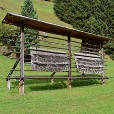
Bodenharpfe
3.2 km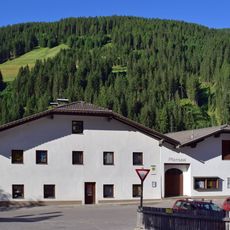
Öffentliche Bücherei Innervillgraten
4.2 km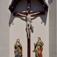
Friedhofskreuz Gasse
4.3 km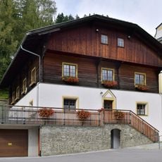
Pfarrhaus Außervillgraten
3.7 km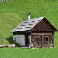
Waschhütte Wurzerhof
2.9 km
Gallerharpfe
4.2 km
Infoharpfe
4.2 km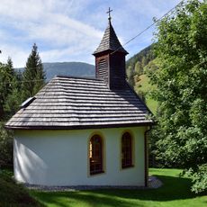
Schupferkapelle Winkeltal
3.2 km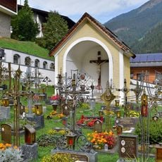
Friedhofskapelle Ausservillgraten
3.6 km
Wandmalerei bäuerliche Arbeiten, Familie, Schulleben
3.6 km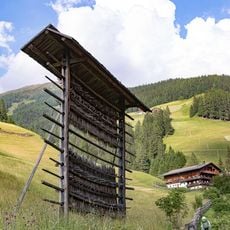
Kohlerharpfe
4.3 km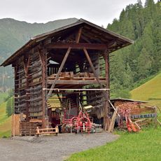
Höllerstauderharpfe
4.2 km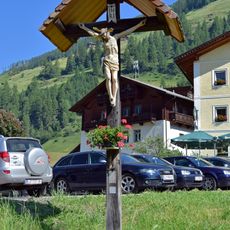
Wegkreuz Gasthaus Raiffeisen
4.1 kmReviews
Visited this place? Tap the stars to rate it and share your experience / photos with the community! Try now! You can cancel it anytime.
Discover hidden gems everywhere you go!
From secret cafés to breathtaking viewpoints, skip the crowded tourist spots and find places that match your style. Our app makes it easy with voice search, smart filtering, route optimization, and insider tips from travelers worldwide. Download now for the complete mobile experience.

A unique approach to discovering new places❞
— Le Figaro
All the places worth exploring❞
— France Info
A tailor-made excursion in just a few clicks❞
— 20 Minutes