
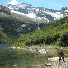
Schlungkopf, mountain in the Ankogel Group at the border Carinthia / Salzburg
Location: Rennweg am Katschberg
Location: Muhr
Elevation above the sea: 2,407 m
GPS coordinates: 47.06854,13.52155
Latest update: March 17, 2025 14:55
Grosser Hafner
9.2 km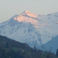
Großer Sonnblick
7.8 km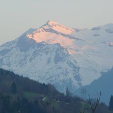
Mittlerer Sonnblick
7.1 km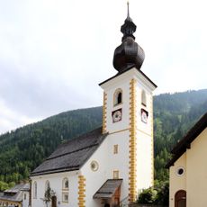
Pfarrkirche Zederhaus
9.4 km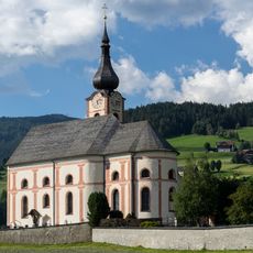
Kirche Sankt Georgen im Katschtal
8.7 km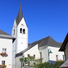
Kirche Sankt Peter im Katschtal
7.2 km
Pocherhaus
5.9 km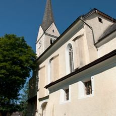
Pfarrkirche Sankt Michael im Lungau
9.5 km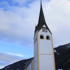
Pfarrkirche hl. Rupert, Muhr
3.7 km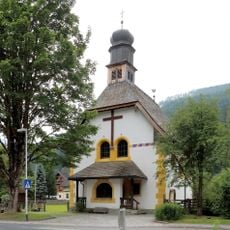
Kath. Filialkirche Herz Jesu
6.8 km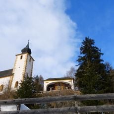
Kath. Filialkirche hl. Ägidius
8.3 km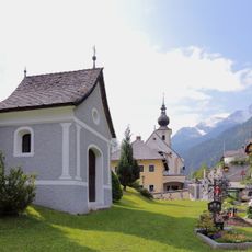
Friedhofskapelle
9.3 km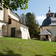
Karner, Wolfgangskapelle
9.5 km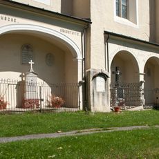
Ortsfriedhof Sankt Michael im Lungau
9.5 km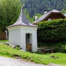
Tafernerkapelle Zederhaus
7.4 km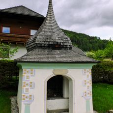
Kaltenbachkreuz St. Michael im Lungau
8.8 km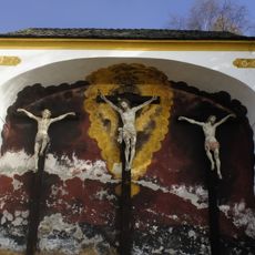
Kapelle mit Kreuzigungsgruppe
8.3 km
Unterer Rotgüldensee
9 km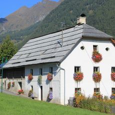
Urtaler Haus, Sankt Peter im Katschtal
7.5 km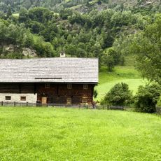
Bauernhaus Vordermuhr 14
4 km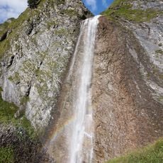
Schleierfall
9.4 km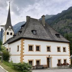
Pfarrhof Muhr
3.7 km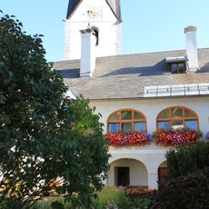
Pfarrhof Sankt Peter im Katschtal
7.3 km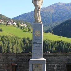
Kirche Sankt Peter im Katschtal - Kriegerdenkmal
7.2 km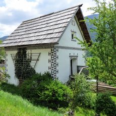
Ersler-Kasten Zederhaus
7.3 km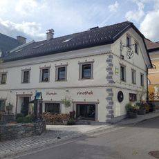
Wohnhaus Marktstraße 12, St. Michael im Lungau
9.4 km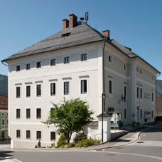
Gemeindeamt, ehem. Bezirksgericht
9.4 km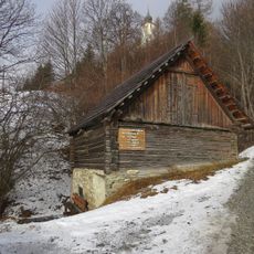
Kösslbachermühle
8.3 kmReviews
Visited this place? Tap the stars to rate it and share your experience / photos with the community! Try now! You can cancel it anytime.
Discover hidden gems everywhere you go!
From secret cafés to breathtaking viewpoints, skip the crowded tourist spots and find places that match your style. Our app makes it easy with voice search, smart filtering, route optimization, and insider tips from travelers worldwide. Download now for the complete mobile experience.

A unique approach to discovering new places❞
— Le Figaro
All the places worth exploring❞
— France Info
A tailor-made excursion in just a few clicks❞
— 20 Minutes