Traweng, Mountain summit in the Totes Gebirge, Styria, Austria
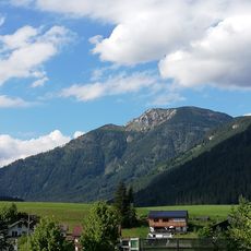
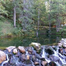
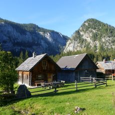
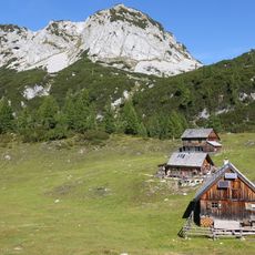
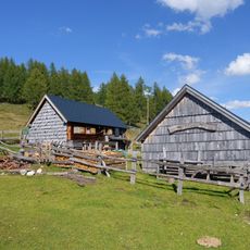
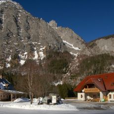
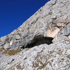
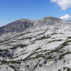
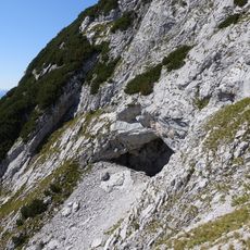
Traweng is a mountain summit in Styria at 1,981 meters elevation located within the Eastern Alps. The ascent passes through meadows, forests, and rocky sections that create a varied walking experience.
The mountain became accessible in the early 20th century when hiking paths were developed to connect it with the growing alpine recreation network. This expansion established it as a destination for mountain walkers in the region.
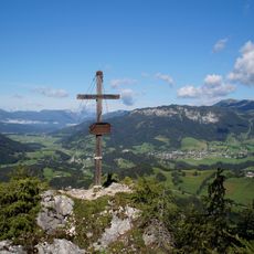
The name Traweng probably comes from Tra, ground arable for livestock, and Weng, a natural grass area, referring to the pastures below the summit. The marked route 72 from the Grazer Hütte leads to the Mittelgipfel and along the ridge to the Westgipfel, where a summit cross stands.
The hike begins from a parking area and follows clearly marked paths with rest points along the way. Visitors should wear sturdy footwear and be prepared for changing weather conditions in the mountains.
The marked route 72 from the Grazer Hütte reaches the Mittelgipfel and continues along the ridge to the Westgipfel; the summit cross stands on the highest point. The name probably derives from Tra, ground accessible to livestock, and Weng, a natural grass area.
The community of curious travelers
AroundUs brings together thousands of curated places, local tips, and hidden gems, enriched daily by 93,593 contributors worldwide.