
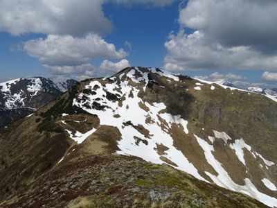
Lahnerleitenspitze, mountain in Austria
Location: Radmer
Elevation above the sea: 2,027 m
GPS coordinates: 47.49230,14.67888
Latest update: March 3, 2025 10:30
Hochtor
8.5 km
Zeiritzkampel
3.6 km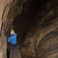
Odelsteinhöhle
6.2 km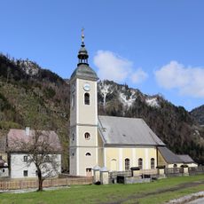
Pfarrkirche Unterwald
6.3 km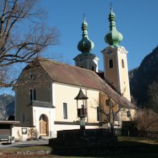
Kirchhofanlage hl. Antonius von Padua, Radmer
8.6 km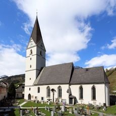
Kath. Pfarrkirche hl. Kunigunde und Friedhof
4.9 km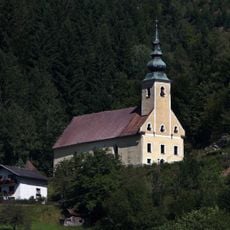
Kath. Filialkirche hl. Sebastian
8.6 km
Evang. Friedhof und Aufbahrungshalle
6.3 km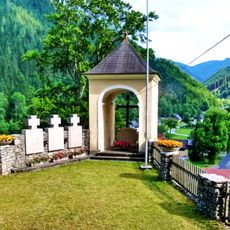
Kreuzweg mit Kapellen und Kriegerdenkmal
8.6 km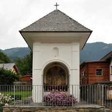
Ortskapelle, Pestkapelle
6.9 km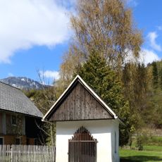
Flur-/Wegkapelle
5 km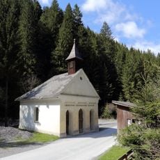
Flur-/Wegkapelle Liesing(tal), Zur Schmerzhaften Muttergottes
7 km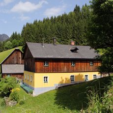
Bauernhof (Anlage) Oberkainz
7.9 km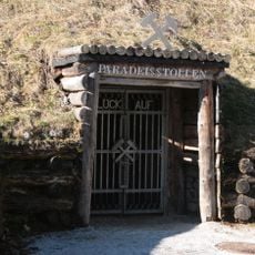
Kupferschaubergwerk Radmer
3.8 km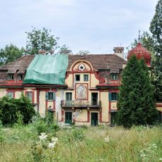
Schloss Paltenstein
5.4 km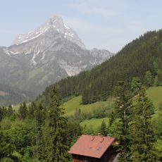
Forst-/Jagdhaus Johnsbach
6 km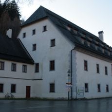
Ehem. Herrschaftshaus, sog. Großhaus
8.5 km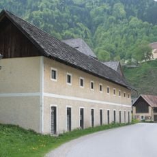
Wirtschaftsgebäude, ehem. Personalhaus
8.5 km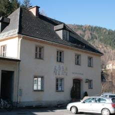
Volksschule
8.5 km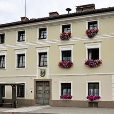
Ehem. Gemeindeamt
6.9 km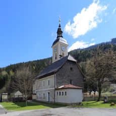
Ehem. evang. Gemeindeschule
6.3 km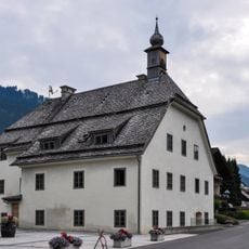
Haslebner-Haus
6.8 km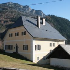
Pfarrhof
8.5 km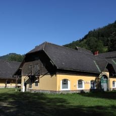
Fohlenhof
8.9 km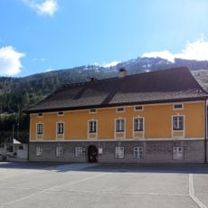
Pfarrhof
4.9 km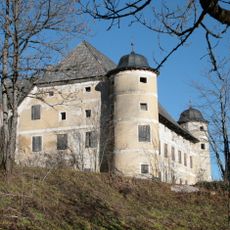
Schloss Greifenberg
4.7 km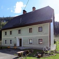
Alter evang. Pfarrhof
6.3 km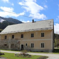
Wirtschaftsgebäude
6.3 kmReviews
Visited this place? Tap the stars to rate it and share your experience / photos with the community! Try now! You can cancel it anytime.
Discover hidden gems everywhere you go!
From secret cafés to breathtaking viewpoints, skip the crowded tourist spots and find places that match your style. Our app makes it easy with voice search, smart filtering, route optimization, and insider tips from travelers worldwide. Download now for the complete mobile experience.

A unique approach to discovering new places❞
— Le Figaro
All the places worth exploring❞
— France Info
A tailor-made excursion in just a few clicks❞
— 20 Minutes