
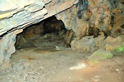
Güntherhöhle, cave in the Hundsheimer Berge in Lower Austria
Location: Hundsheim
Elevation above the sea: 260 m
GPS coordinates: 48.12113,16.93604
Latest update: March 7, 2025 05:31
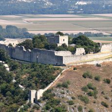
Castle Heimenburg, Hainburg an der Donau
2.5 km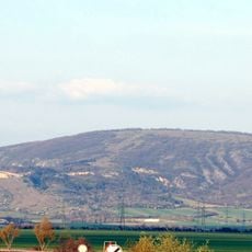
Hundsheimer Berg
1.2 km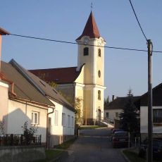
Pfarrkirche hl. Dreifaltigkeit, Hundsheim
395 m
Spitzerberg
2.7 km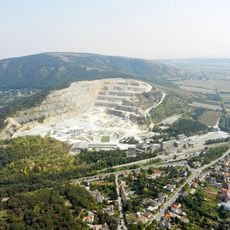
Pfaffenberg
1.4 km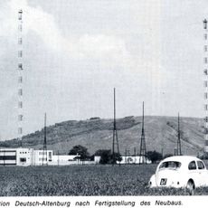
Funkstation Deutsch-Altenburg
2 km
Spitzerberg
330 m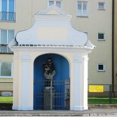
Johannes-Nepomuk-Kapelle
2.7 km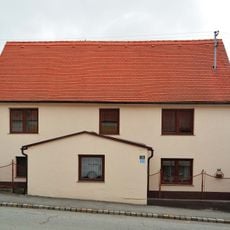
Ehem. Annenkapelle
339 m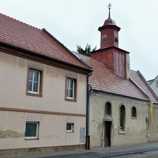
Ehem. Bürgerspital mit Ulrichskapelle
2.6 km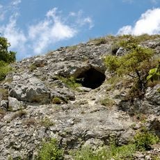
Zwerglloch
252 m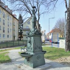
Löwenbrunnen, ehem. Stadtbrunnen
2.7 km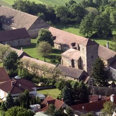
Meierhof, Hundsheim
571 m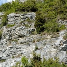
Gelsenspalte
137 m
Hügelgrab Hütelberg
2.6 km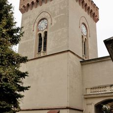
Marc-Aurel-Kaserne
2.5 km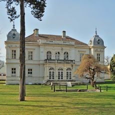
Hollitzer-Villa
2.7 km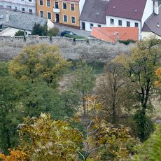
Marc Aurel-Kaserne – Stadtmauer
2.7 km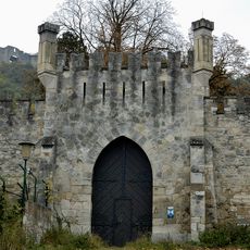
Stadtbefestigung/Anlage
2.7 km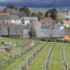
Wehrturm
345 m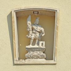
Figur hl. Florian
2.7 km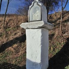
Pietabildstock, Hundsheim
629 m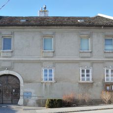
Pfarrhof
321 m
Ehem. Wirtschafts- und Mannschaftsgebäude mit anschließendem Torbogen
2.5 km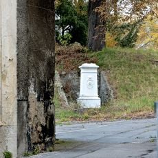
Marc Aurel-Kaserne – Kaiser Franz Josef Denkmal
2.5 km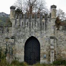
Marc-Aurel-Kaserne – Haupttorgebäude, ehem. Neuschloss
2.6 km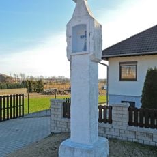
Bildstock
396 m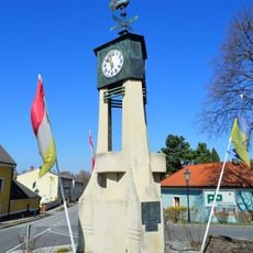
Uhrentürmchen
2.7 kmVisited this place? Tap the stars to rate it and share your experience / photos with the community! Try now! You can cancel it anytime.
Discover hidden gems everywhere you go!
From secret cafés to breathtaking viewpoints, skip the crowded tourist spots and find places that match your style. Our app makes it easy with voice search, smart filtering, route optimization, and insider tips from travelers worldwide. Download now for the complete mobile experience.

A unique approach to discovering new places❞
— Le Figaro
All the places worth exploring❞
— France Info
A tailor-made excursion in just a few clicks❞
— 20 Minutes