
Buchniklkogel, mountain in the Grazer Bergland in Styria
Location: Stattegg
Elevation above the sea: 771 m
GPS coordinates: 47.15631,15.42857
Latest update: June 14, 2025 15:09
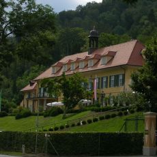
St. Veiter Schlössl
5.2 km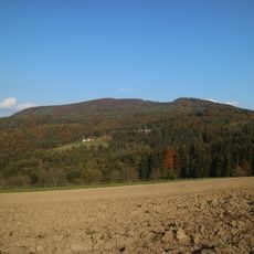
Hohe Rannach
2.8 km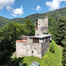
Burg Ehrenfels
4.2 km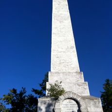
Novystein
4 km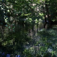
Andritz Ursprung
2.3 km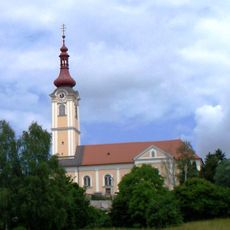
Parish Church of St. Veit
4.7 km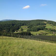
Lineckberg
4.7 km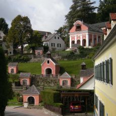
Calvary Sankt Radegund bei Graz
5.2 km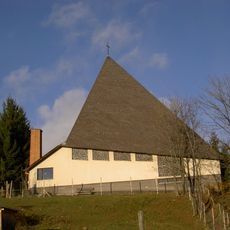
Filialkirche Maria Schutz (Stattegg)
1.7 km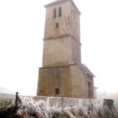
Wetterturm Rinnegg
4.3 km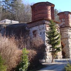
Kalköfen
2 km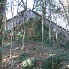
Burg Stadeck
1.5 km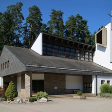
Filialkirche Weinitzen
5 km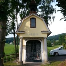
Lourdes-Kapelle, Dult
5.3 km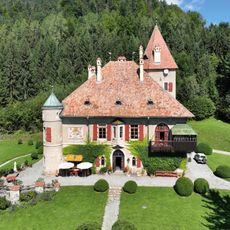
Isenrode Castle
5.2 km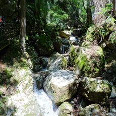
Kesselfallklamm
5.3 km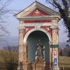
Wegkapelle, Winterkapelle
4.8 km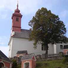
Kalvarienbergkirche
5.2 km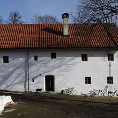
Bauernhaus vulgo Rumpl
4.7 km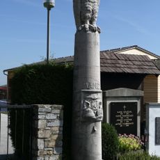
Grab Familie Mandl
5 km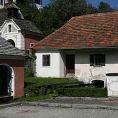
Wohnhaus, sog. Kalvarienberghäusl
5.3 km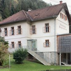
Volksschule Augraben, Semriach
4.4 km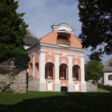
Heilige Stiege
5.2 km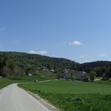
Dult
4.8 km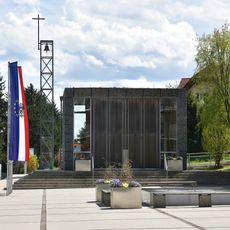
Kapelle Stattegg
2.2 km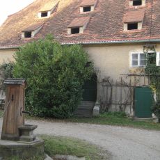
Schüttkasten
4.6 km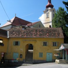
Mesnerhaus
4.7 km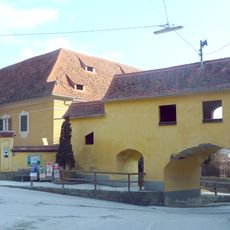
Pfarrhof St. Veit, Andritz
4.6 kmReviews
Visited this place? Tap the stars to rate it and share your experience / photos with the community! Try now! You can cancel it anytime.
Discover hidden gems everywhere you go!
From secret cafés to breathtaking viewpoints, skip the crowded tourist spots and find places that match your style. Our app makes it easy with voice search, smart filtering, route optimization, and insider tips from travelers worldwide. Download now for the complete mobile experience.

A unique approach to discovering new places❞
— Le Figaro
All the places worth exploring❞
— France Info
A tailor-made excursion in just a few clicks❞
— 20 Minutes