
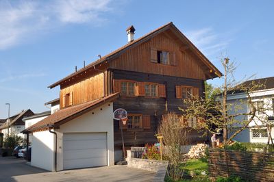
Bauernhaus, Rheintalhaus, human settlement in Austria
Location: Rankweil
Address: Gerbergasse 9
GPS coordinates: 47.26788,9.64218
Latest update: March 5, 2025 07:54
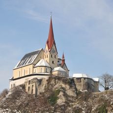
Liebfrauenbergkirche
256 m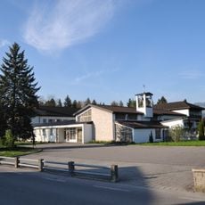
Carmelite convent in Rankweil
1.4 km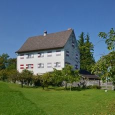
Ansitz Weißenberg
1.9 km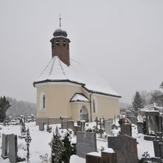
Friedhofskirche hl. Michael, Rankweil
447 m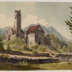
Kloster Valduna
958 m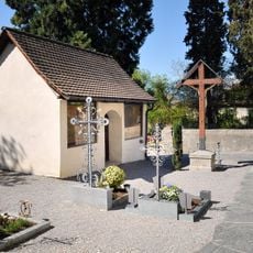
Friedhof mit Beinhaus
159 m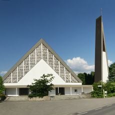
Kath. Filialkirche hl. Josef
814 m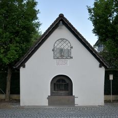
Pestkapelle
623 m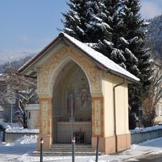
Herz-Jesu-Kapelle
175 m
Gewerbepark
1.5 km
Kapelle Mariahilf
1.9 km
Rueff Textil, Zwischenwasser
1.7 km
Rathaus
278 m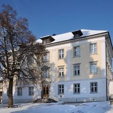
Volksschule Markt
192 m
Nachbauer-Denkmal
136 m
Untere Bahnhofstraße 10, Rankweil
398 m
Villa Rauch samt Einfriedung
387 m
Kreuzwegstationen
284 m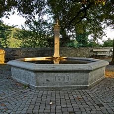
Brunnen
344 m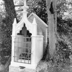
Valduna-Bildstock
841 m
Mesnerhaus
341 m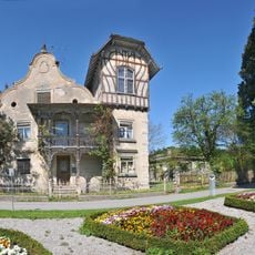
Villa Häusle
138 m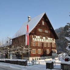
Schlosserhus (Rankweil)
164 m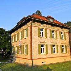
Kindergarten Oberdorf
670 m
Pfarrhof
320 m
Wohnhaus, sog. Fuchshaus
534 m
Armenhaus (Zwischenwasser)
1.7 km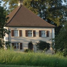
Pfarrhof St. Peter
505 mVisited this place? Tap the stars to rate it and share your experience / photos with the community! Try now! You can cancel it anytime.
Discover hidden gems everywhere you go!
From secret cafés to breathtaking viewpoints, skip the crowded tourist spots and find places that match your style. Our app makes it easy with voice search, smart filtering, route optimization, and insider tips from travelers worldwide. Download now for the complete mobile experience.

A unique approach to discovering new places❞
— Le Figaro
All the places worth exploring❞
— France Info
A tailor-made excursion in just a few clicks❞
— 20 Minutes