Rankweil, municipality in Feldkirch District, Vorarlberg, Austria
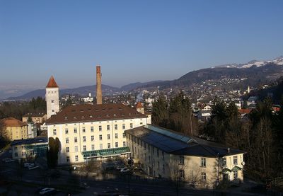
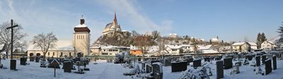
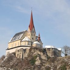
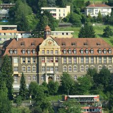
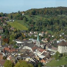
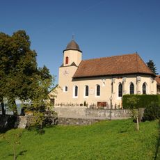
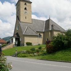
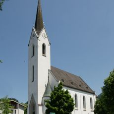
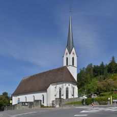
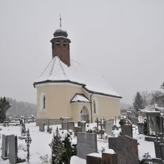
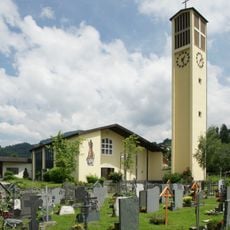
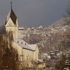
Rankweil is a small market municipality in Austria's Feldkirch District, nestled in a valley alongside the Frutz River. The town comprises two sections, Brederis and Rankweil proper, with historic churches including the Basilica of Our Dear Lady Mary Visitation and St. Peter's Church marking its character.
The area was settled by Romans as Vinomna and served as a crossroads for important trade routes. First documented in 842, it developed into a market town granted official market rights in 1618 and fell under Habsburg control in the 14th century.
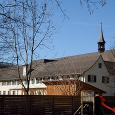
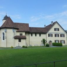
The town carries its Roman name Vinomna forward through its churches and local identity, connecting residents to their distant past. The Basilica of Our Dear Lady Mary Visitation has served as a pilgrimage site for centuries and remains central to the community's spiritual life.
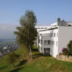
The town sits at over 460 meters (1,500 feet) elevation on higher ground, offering winter sports access in nearby mountains. Its small size allows for easy navigation and makes it straightforward to explore nearby attractions from this location.
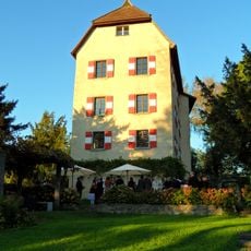
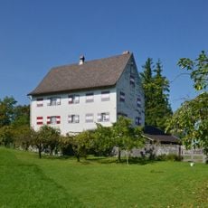
On Liebfrauenberg hill, wine growers have farmed vineyards since 842, with production reviving in the 1980s after past decline from disease and supply issues. This heritage reveals how local traditions endured through difficulties over more than 10 centuries.
The community of curious travelers
AroundUs brings together thousands of curated places, local tips, and hidden gems, enriched daily by 60,000 contributors worldwide.