
Höhensiedlung Heidenstatt, human settlement in Austria
Location: Maissau
Address: Heidenstatt
GPS coordinates: 48.59901,15.83551
Latest update: April 11, 2025 06:30
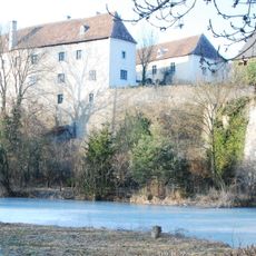
Schloss Burgschleinitz
1.6 km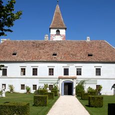
Schloss Limberg, Maissau
2.2 km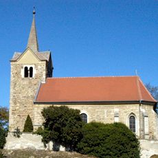
Filialkirche hl. Jakob
1.9 km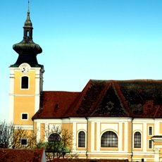
Pfarrkirche Straning
2.4 km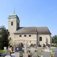
Parish church in Burgschleinitz
1.7 km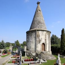
Ossuary in Burgschleinitz
1.6 km
Friedhof christlich
1.9 km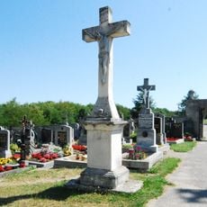
Friedhof Burgschleinitz
1.6 km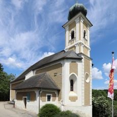
Katholische Filialkirche heilige Katharina
1.5 km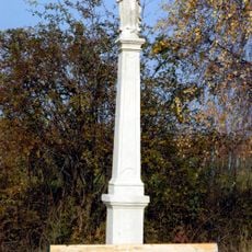
Oberdürnbach Immaculata
1.9 km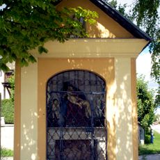
Wegkapelle Pietà und Pestheilige
2.4 km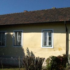
Ehem. Schule, Gottfried von Einem-Gedenkstätte
1.6 km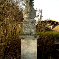
Limberg Kreuzigung
1.5 km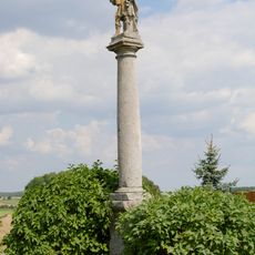
Figurenbildstock heiliger Donatus
1.8 km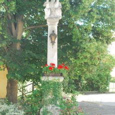
Pest-/Dreifaltigkeitssäule
1.8 km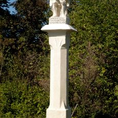
Oberdürnbach Christus in der Rast
1.9 km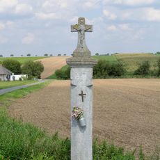
Bildstock
2.3 km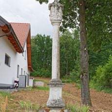
Figurenbildstock Gnadenstuhlgruppe
2.1 km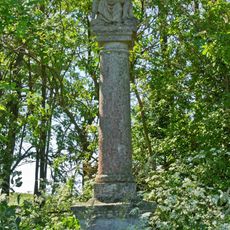
Figurenbildstock Maria Dreieichen
2.4 km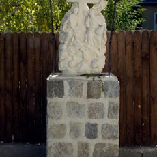
Figurenbildstock Heilige Dreifaltigkeit
2.1 km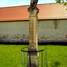
Mariensäule
2.4 km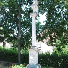
Figurenbildstock heiliger Sebastian
1.9 km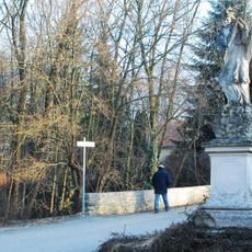
Figurenbildstock heiliger Johannes Nepomuk
1.5 km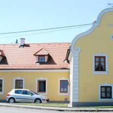
Wohnhaus, ehemalige Schmiede
1.9 km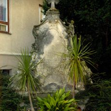
Grabdenkmal
2.4 km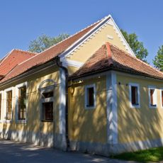
Ehemalige Volksschule
1.7 km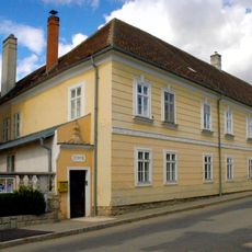
Pfarrhof
2.4 km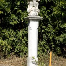
Gnadenstuhl
2.2 kmReviews
Visited this place? Tap the stars to rate it and share your experience / photos with the community! Try now! You can cancel it anytime.
Discover hidden gems everywhere you go!
From secret cafés to breathtaking viewpoints, skip the crowded tourist spots and find places that match your style. Our app makes it easy with voice search, smart filtering, route optimization, and insider tips from travelers worldwide. Download now for the complete mobile experience.

A unique approach to discovering new places❞
— Le Figaro
All the places worth exploring❞
— France Info
A tailor-made excursion in just a few clicks❞
— 20 Minutes