
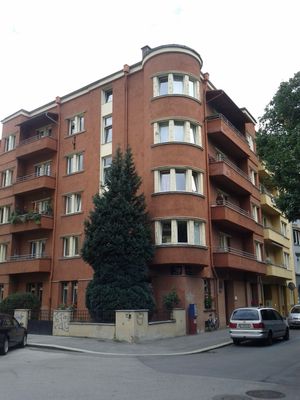
Kommunaler Wohnbau mit Umfriedung, building in Innsbruck, Austria
Location: Innsbruck
Address: Körnerstraße 5
GPS coordinates: 47.26554,11.40768
Latest update: March 2, 2025 22:19
Ferrarischule
396 m
Rapoldipark
98 m
Dreiheiligenkirche
475 m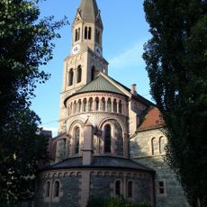
Pfarrkirche Pradl
130 m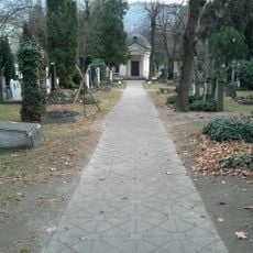
Militärfriedhof Pradl
480 m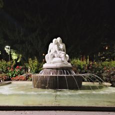
Salige-Fräulein-Brunnen
58 m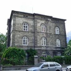
Villa Epp
277 m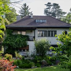
Villa Rhomberg
360 m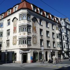
Pradler Straße 38
132 m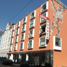
Hotel Clima
501 m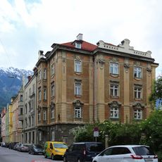
Grillparzerstraße 4, Innsbruck
446 m
Brunnen hl. Florian
277 m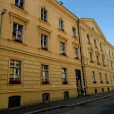
Volksschule Dreiheiligen
494 m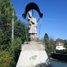
Figurenbildstock hl. Johannes Nepomuk u. Geländer
445 m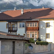
Widum Dreiheiligen
458 m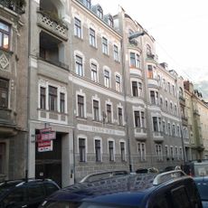
Grillparzerstraße 5, Innsbruck
448 m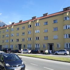
Pembaurblock, Innsbruck
428 m
Grillparzerstraße 3, Innsbruck
428 m
Dodlhof
476 m
Die Bäckerei Kulturbackstube
426 m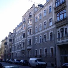
Miethaus
467 m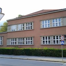
Kindergarten Pradl
449 m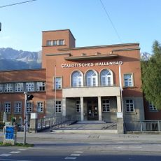
Städtisches Hallenbad
171 m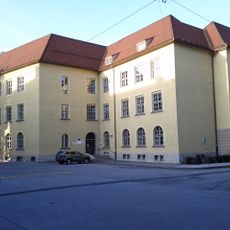
Leitgebschule
166 m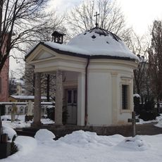
Kapelle am Militärfriedhof
483 m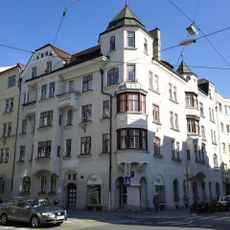
Miethaus, Wohn- und Geschäftshaus
161 m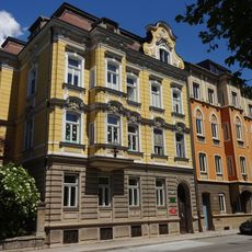
Norerpalais
417 m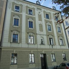
Miethaus
441 mReviews
Visited this place? Tap the stars to rate it and share your experience / photos with the community! Try now! You can cancel it anytime.
Discover hidden gems everywhere you go!
From secret cafés to breathtaking viewpoints, skip the crowded tourist spots and find places that match your style. Our app makes it easy with voice search, smart filtering, route optimization, and insider tips from travelers worldwide. Download now for the complete mobile experience.

A unique approach to discovering new places❞
— Le Figaro
All the places worth exploring❞
— France Info
A tailor-made excursion in just a few clicks❞
— 20 Minutes