
Fundzone Unteres Bauernfeld, Fundzone in Würmla (127069)
Location: Würmla
Address: Unteres Bauernfeld
GPS coordinates: 48.27314,15.87737
Latest update: August 6, 2025 01:24
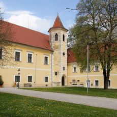
Schloss Atzenbrugg
3 km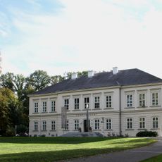
Schloss Würmla
2.8 km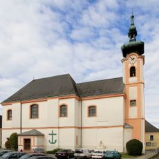
Pfarrkirche Würmla
2.4 km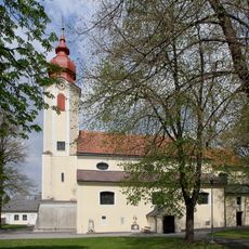
Pfarrkirche Heiligeneich
3.1 km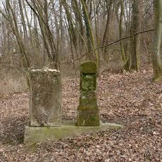
Jewish cemetery Michelndorf
2.5 km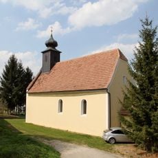
Kath. Filialkirche hl. Anna
4.4 km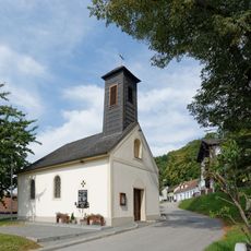
Ortskapelle hl. Margarethe
4.5 km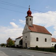
Ortskapelle
671 m
Ortskapelle Tautendorf
2.2 km
Ortskapelle
3.8 km
Flur-/Wegkapelle
3.3 km
Ortskapelle hl. Anna
1.9 km
Ortskapelle Waltendorf
3.6 km
Ortskapelle hl. Josef der Nährvater, Michelndorf
1.6 km
Ortskapelle Mariahilf
4.3 km
Ortskapelle Großgraben
4.1 km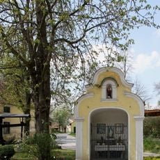
Wegkapelle samt Herz Jesu-Statuette
3.6 km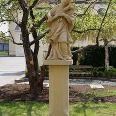
Figur hl. Johannes Nepomuk
3.2 km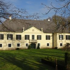
Schloss Aumühle
2.1 km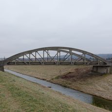
Straßenbrücke Atzenbrugg
1.1 km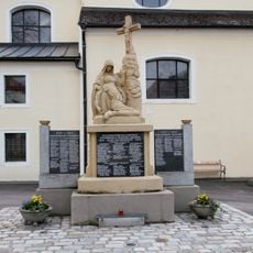
Kriegerdenkmal
3.1 km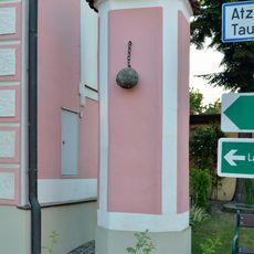
Pranger
4.2 km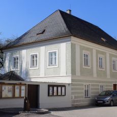
Pfarrhof
2.4 km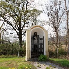
Bildstock
2 km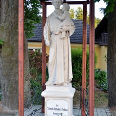
Figur hl. Antonius
2.5 km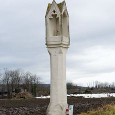
Bildstock
4.2 km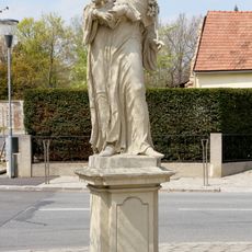
Bildstock hl. Antonius von Padua
2.9 km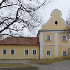
Ehem. Wirtschaftsgebäude, heute Gasthof
3 kmReviews
Visited this place? Tap the stars to rate it and share your experience / photos with the community! Try now! You can cancel it anytime.
Discover hidden gems everywhere you go!
From secret cafés to breathtaking viewpoints, skip the crowded tourist spots and find places that match your style. Our app makes it easy with voice search, smart filtering, route optimization, and insider tips from travelers worldwide. Download now for the complete mobile experience.

A unique approach to discovering new places❞
— Le Figaro
All the places worth exploring❞
— France Info
A tailor-made excursion in just a few clicks❞
— 20 Minutes