
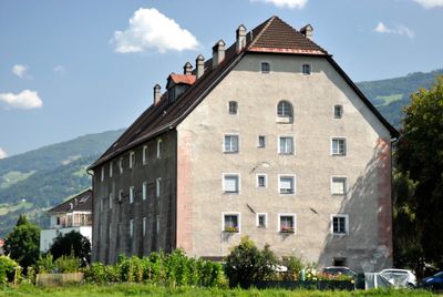
Wohnhaus, ehem. Schüttkasten, building in Hall in Tirol, Austria
Location: Hall in Tirol
Address: Untere Lend 7
GPS coordinates: 47.27772,11.51455
Latest update: April 2, 2025 10:59
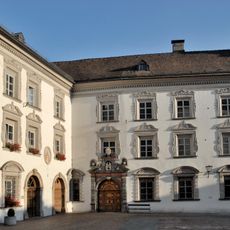
Haller Damenstift
525 m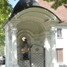
Johannes Nepomuk-Kapelle, Lend-Kapelle
120 m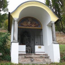
Sonnenkapelle
329 m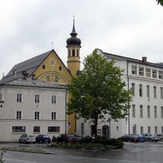
Kloster der Tertiarschwestern
523 m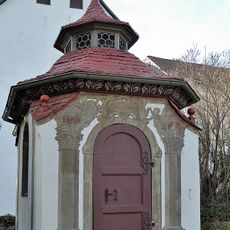
Hofkapelle, Josefskapelle
478 m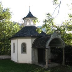
Kapelle Maria Schnee
444 m
Brunnenhaus, Hall in Tirol
526 m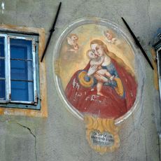
Mariahilf-Fresko
459 m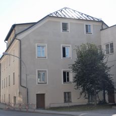
Sog. Seeger-Haus, ehem. Badhaus
507 m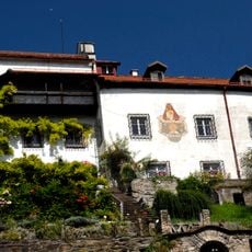
Siberschlössl
531 m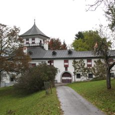
Ansitz Taschenlehen
477 m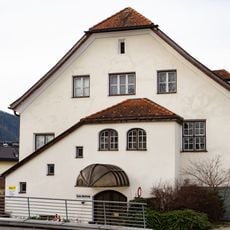
Sog. Knollhaus, Verwaltungsgebäude des Bezirkskrankenhauses (ehem. Isolierspital)
537 m
Bürgerhaus, ehem. Lamplwirtshaus
535 m
Spitalkirche zum hl. Geist, Klosterkirche der Tertiar Schulschwestern
512 m
Bürgerhaus
511 m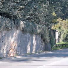
Gartenmauern
465 m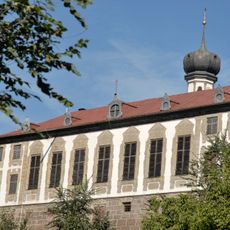
Ehemaliges Sommerhaus des Damenstiftes
462 m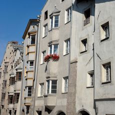
Bürgerhaus
518 m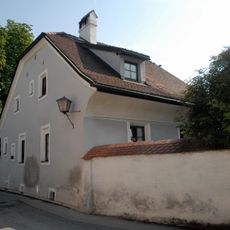
Bürgerhaus
538 m
Bildstock hl. Johannes Nepomuk
476 m
Bürgerhaus
533 m
Städtischer Bauhof
518 m
Ehem. Bezirksforstinspektion
489 m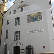
Volksschule Unterer Stadtplatz, ehem. städtische Mädchenschule
522 m
Wohnhaus ehem. Salzstadel
140 m
Bürgerhaus, Unteres Brockengut
443 m
Bürgerhaus
495 m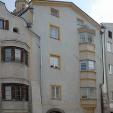
Bürgerhaus
523 mReviews
Visited this place? Tap the stars to rate it and share your experience / photos with the community! Try now! You can cancel it anytime.
Discover hidden gems everywhere you go!
From secret cafés to breathtaking viewpoints, skip the crowded tourist spots and find places that match your style. Our app makes it easy with voice search, smart filtering, route optimization, and insider tips from travelers worldwide. Download now for the complete mobile experience.

A unique approach to discovering new places❞
— Le Figaro
All the places worth exploring❞
— France Info
A tailor-made excursion in just a few clicks❞
— 20 Minutes