
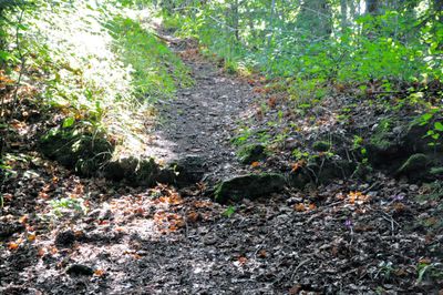
Befestigte Höhensiedlung Lamprechtskogel, human settlement in Austria
Location: Völkermarkt
Address: Lamprechtskogel
GPS coordinates: 46.69745,14.56652
Latest update: March 28, 2025 07:27
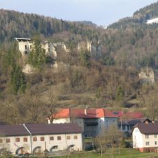
Burgruine Waisenberg
365 m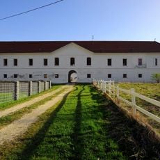
Schloss Mittertrixen
1.3 km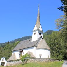
Kirche St Martin
4.1 km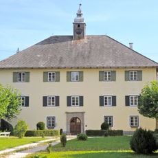
Schloss Eppersdorf, Brückl
4.6 km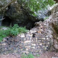
Burgruine Reinegg
4.6 km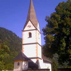
Kirche Klein St Veit
3.5 km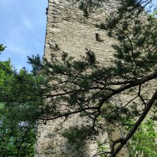
Burgruine Obertrixen
844 m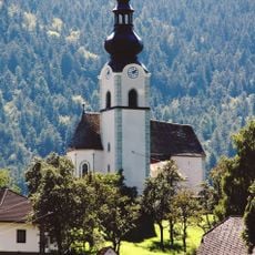
Pfarrkirche St. Georgen am Weinberg, Völkermarkt
1.1 km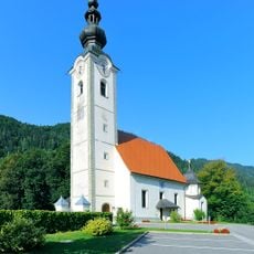
Sankt Francisci (Gattersdorf)
1.5 km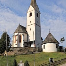
Pfarrkirche St. Michael ob der Gurk
5.1 km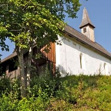
Filialkirche hll. Lambertus und Markus, Lamprechtskogel, Völkermarkt
130 m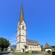
Pfarrkirche St. Margarethe o. T.
2.4 km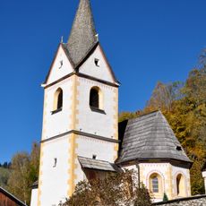
Filialkirche hl. Michael, Michaelerberg, Brückl
3.8 km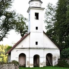
Schlosskapelle hl. Erasmus, Obertrixen
931 m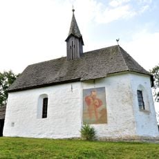
Subsidiary church Saint Leonard, Kremschitz
2.1 km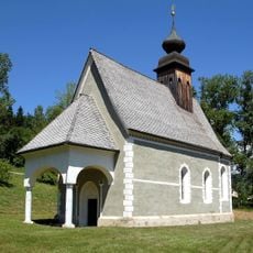
Kath. Filialkirche hll. Petrus und Paulus
4.6 km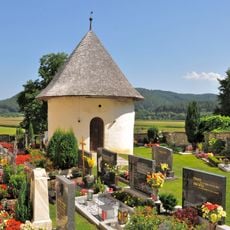
Friedhof und Karner St. Margarethen ob Töllerberg, Völkermarkt
2.4 km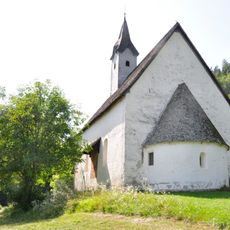
Filialkirche Heilige Katharina am Kulm
2.3 km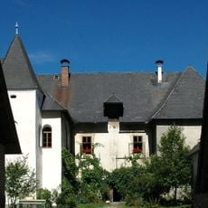
Schloss Frankenstein
1.5 km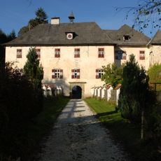
Töllerberg castle
3.3 km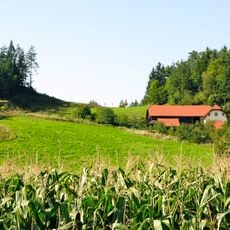
Hügelgräberfeld Führholz
417 m
Befestigte Höhensiedlung Lamprechtskogel
129 m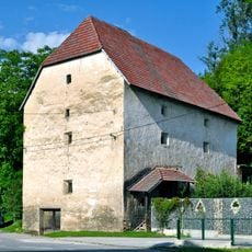
Getreidespeicher
1.3 km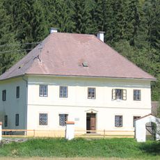
Pfarrhof
5.2 km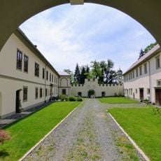
Schloss Obertrixen
982 m
Burgruine Niedertrixen
4.7 km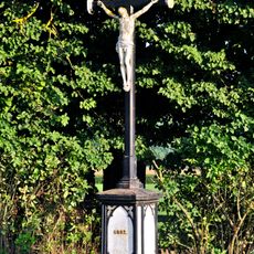
Gusseisernes Wegkreuz
1.3 km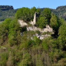
Burgruine Mittertrixen
1.5 kmReviews
Visited this place? Tap the stars to rate it and share your experience / photos with the community! Try now! You can cancel it anytime.
Discover hidden gems everywhere you go!
From secret cafés to breathtaking viewpoints, skip the crowded tourist spots and find places that match your style. Our app makes it easy with voice search, smart filtering, route optimization, and insider tips from travelers worldwide. Download now for the complete mobile experience.

A unique approach to discovering new places❞
— Le Figaro
All the places worth exploring❞
— France Info
A tailor-made excursion in just a few clicks❞
— 20 Minutes