
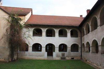
Pfarrhof/ehem. Propsteihof und Stadtmauer, Denkmalgeschütztes Objekt in Sankt Andrä (68281)
Location: Sankt Andrä
Address: St. Andrä 2
GPS coordinates: 46.76487,14.82308
Latest update: March 11, 2025 18:20
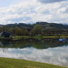
St. Andräer See
2.7 km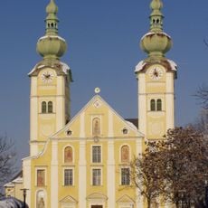
Maria-Loreto-Kirche in St Andrä
594 m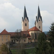
Old Cathedral of Sankt Andrä
26 m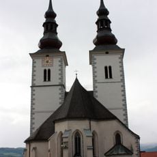
Pfarrkirche St Marein im Lavanttal
5 km
Kirche Maria Rojach
5.5 km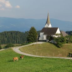
Pfarrkirche hl. Georg, Lamm
3.9 km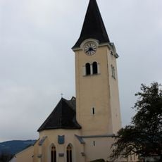
Pfarrkirche St Stefan im Lavanttal
4.9 km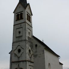
Filialkirche hl. Nikolaus, Siegelsdorf
5.3 km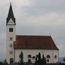
Kirche Siebending
1.7 km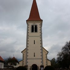
Kirche Fischering
2.4 km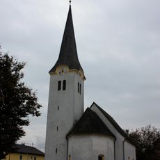
Kath. Filialkirche hll. Johannes und Paulus
1.7 km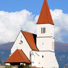
Filialkirche hl. Oswald, Schönweg
3.4 km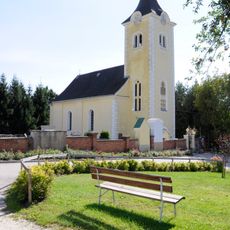
Filialkirche Heiliger Jakob, St. Andrä i. L.
2.9 km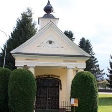
Kapelle hl. Johannes Nepomuk/Blaikenkapelle
226 m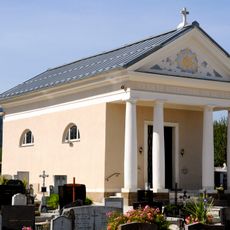
Friedhofskapelle-Bischofskapelle
304 m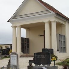
Friedhofskapelle Fischering, Sankt Andrä
2.6 km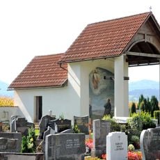
Friedhofskapelle
5.4 km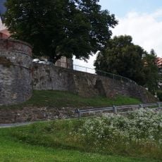
City wall of St. Andrä im Lavanttal
176 m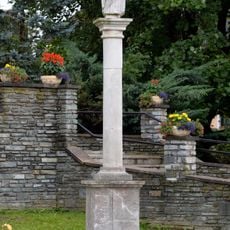
Marian column St. Marein, Wolfsberg
5 km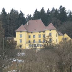
Schloss Kollegg
2.3 km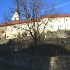
Stadtmauer
45 m
Grenzstein Fischering, Sankt Andrä
2.4 km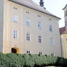
Ehem. Dominikanerinnenkloster Maria Loreto
638 m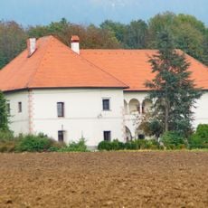
Schloss Mosern, Sankt Andrä
4.1 km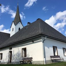
Pfarrhof
3.9 km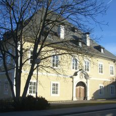
Ehem. Salzburger Pfleghof/Pfleghaus
120 m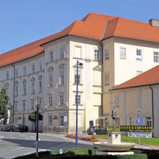
Bischöfliche Residenz und ehem. Jesuitenkolleg/heute Altersheim Haus Elisabeth
103 m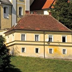
Pfarrhof und Mesnerhaus
604 mReviews
Visited this place? Tap the stars to rate it and share your experience / photos with the community! Try now! You can cancel it anytime.
Discover hidden gems everywhere you go!
From secret cafés to breathtaking viewpoints, skip the crowded tourist spots and find places that match your style. Our app makes it easy with voice search, smart filtering, route optimization, and insider tips from travelers worldwide. Download now for the complete mobile experience.

A unique approach to discovering new places❞
— Le Figaro
All the places worth exploring❞
— France Info
A tailor-made excursion in just a few clicks❞
— 20 Minutes