
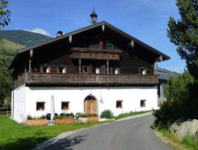
Bauernhaus, Unterwolfsbachgut, human settlement in Austria
Location: Taxenbach
Address: Höf 2
GPS coordinates: 47.28717,12.92561
Latest update: March 3, 2025 07:32

Wallfahrtskapelle Maria Elend
4.8 km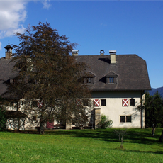
Heuberg Castle
3.8 km
Burgruine Taxenbach
3.7 km
Ansitz Penninghof, Taxenbach
3.1 km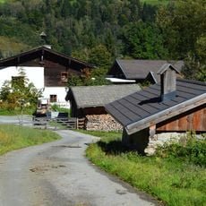
Edtgut, Taxenbach
3.6 km
Pfarrkirche hl. Andreas, Taxenbach
3 km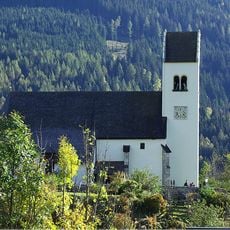
Pfarrkirche hl. Georg, St. Georgen, Bruck
3.9 km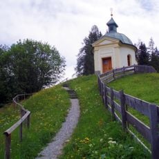
Wallfahrtskapelle Maria Elend
4.8 km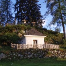
Ölbergkapelle
5.3 km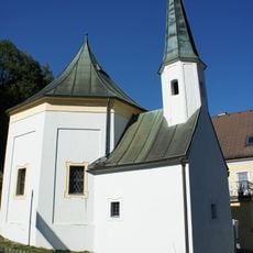
Frauenkapelle
3.4 km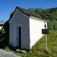
Höfer Kapelle
2.2 km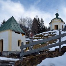
Ursprungskapelle Maria Elend
4.8 km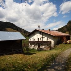
Bauernhof Waldbauer, Unterland
5.4 km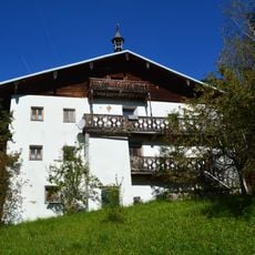
Gschwandtnerbauer, Taxenbach
4.8 km
Baukogel
5.2 km
Bauernhof (Anlage), Wanglerlehen samt Nebengebäude
1.2 km
Kühhoferhaus, Taxenbach
2.7 km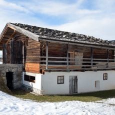
Geistliches Zentrum Embach, Raum der Stille
5.7 km
Walchergut, Bruck an der Glocknerstraße
2.7 km
Burgruine, Burgstelle der Edtburg
3.6 km
Pfarrhof Embach
5.7 km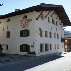
Ehemaliges Gemeindespital
2.8 km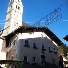
Riemererhaus
3 km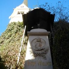
Wallner-Denkmal
3 km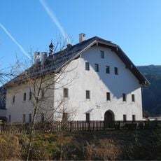
Pfarrhof
3 km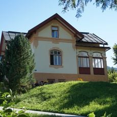
Ehem. Forsthaus/Jagdhaus
2.5 km
Weißgerberhaus (Schläfferhaus)
2.9 km
Mesnerhaus
3 kmReviews
Visited this place? Tap the stars to rate it and share your experience / photos with the community! Try now! You can cancel it anytime.
Discover hidden gems everywhere you go!
From secret cafés to breathtaking viewpoints, skip the crowded tourist spots and find places that match your style. Our app makes it easy with voice search, smart filtering, route optimization, and insider tips from travelers worldwide. Download now for the complete mobile experience.

A unique approach to discovering new places❞
— Le Figaro
All the places worth exploring❞
— France Info
A tailor-made excursion in just a few clicks❞
— 20 Minutes