
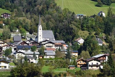
Taxenbach, municipality in Zell am See District, Salzburg, Austria
Location: Zell am See District
Elevation above the sea: 776 m
Email: sekretariat@taxenbach.gv.at
Website: http://taxenbach.at
GPS coordinates: 47.29167,12.96417
Latest update: March 25, 2025 01:07
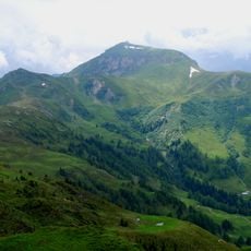
Hundstein
6.5 km
Wallfahrtskapelle Maria Elend
2.3 km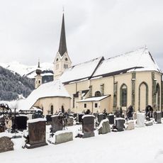
Pfarrkirche hll. Jakob und Martin, Rauris
7.4 km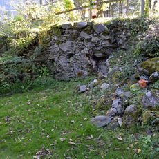
Burgruine Taxenbach
717 m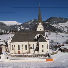
Pfarrkirche Embach
2.9 km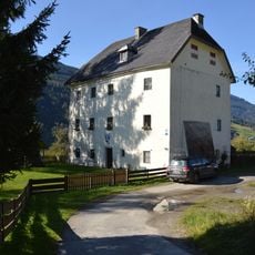
Ansitz Penninghof, Taxenbach
326 m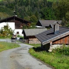
Edtgut, Taxenbach
730 m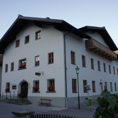
Regional history museum of the Rauris valley
7.6 km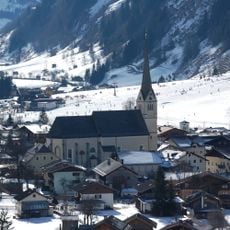
Kath. Pfarrkirche hll. Jakob und Martin
7.3 km
Pfarrkirche hl. Andreas, Taxenbach
173 m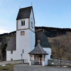
Pfarrkirche hl. Margaretha, Eschenau
4.7 km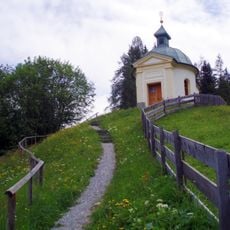
Wallfahrtskapelle Maria Elend
2.3 km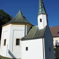
Frauenkapelle
468 m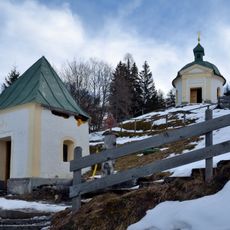
Ursprungskapelle Maria Elend
2.2 km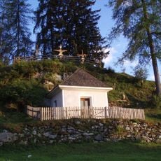
Ölbergkapelle
2.5 km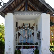
Unterbründlingkapelle Eschenau
5 km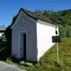
Höfer Kapelle
778 m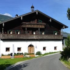
Bauernhaus, Unterwolfsbachgut
3 km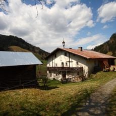
Bauernhof Waldbauer, Unterland
3.8 km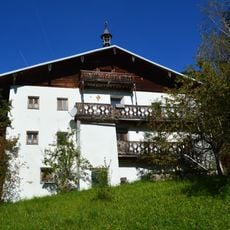
Gschwandtnerbauer, Taxenbach
2 km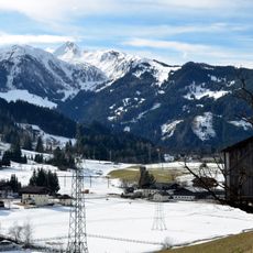
Baukogel
5.6 km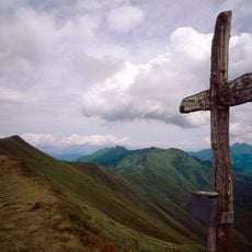
Breitebenkopf
11.2 km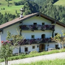
Bauernhof (Anlage), Wanglerlehen samt Nebengebäude
1.8 km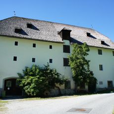
Fürstenmühle
7.6 km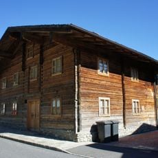
Kühhoferhaus, Taxenbach
258 m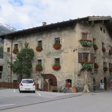
Voglmairhaus
7.3 km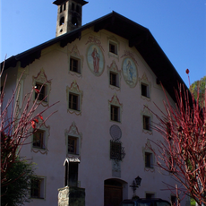
Walchergut, Bruck an der Glocknerstraße
5.6 km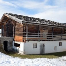
Geistliches Zentrum Embach, Raum der Stille
2.8 kmVisited this place? Tap the stars to rate it and share your experience / photos with the community! Try now! You can cancel it anytime.
Discover hidden gems everywhere you go!
From secret cafés to breathtaking viewpoints, skip the crowded tourist spots and find places that match your style. Our app makes it easy with voice search, smart filtering, route optimization, and insider tips from travelers worldwide. Download now for the complete mobile experience.

A unique approach to discovering new places❞
— Le Figaro
All the places worth exploring❞
— France Info
A tailor-made excursion in just a few clicks❞
— 20 Minutes