
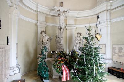
War memorial chapel and cemetery, Herzogenburg, cemetery in Herzogenburg, Austria
Location: Herzogenburg
Address: Johann Strauß-Gasse 9
GPS coordinates: 48.28757,15.69221
Latest update: March 23, 2025 16:01
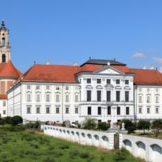
Herzogenburg Priory
324 m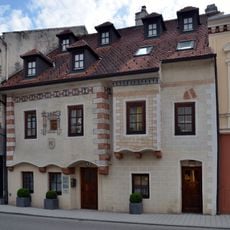
Bürgerhaus
277 m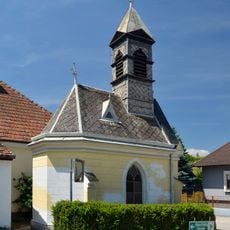
Ortskapelle
1.3 km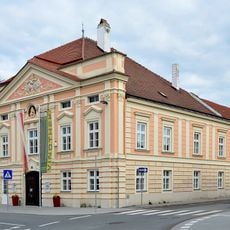
Ehem. Rathaus des Unteren Marktes
403 m
City wall Herzogenburg
279 m
Rathaus des Oberen Marktes, Herzogenburg
159 m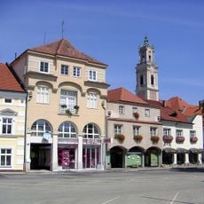
Rathausplatz 12, Herzogenburg
359 m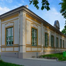
Turnhalle
161 m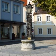
Brunnen
155 m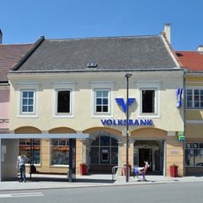
Bürgerhaus, Volksbank
327 m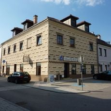
Ehem. Günther-Haus, ehem. Rathaus des Oberen Marktes
280 m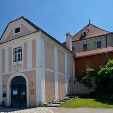
Kellerschlössel Wielandsthal
1.2 km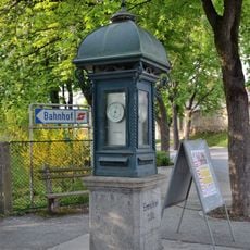
Wetterhäuschen
222 m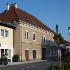
Bürgerhaus
130 m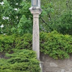
Pestsäule
682 m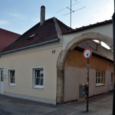
Wohnhaus
169 m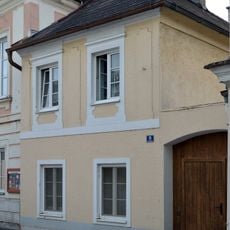
Wohnhaus
149 m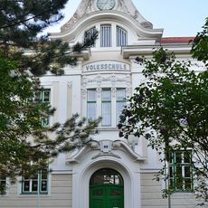
Volksschule Herzogenburg
217 m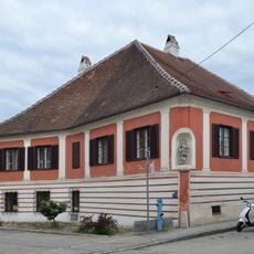
Bürgerhaus Wiener Straße 7, Herzogenburg
520 m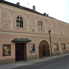
Bürgerhaus
268 m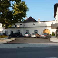
Altes Gsellshaus
137 m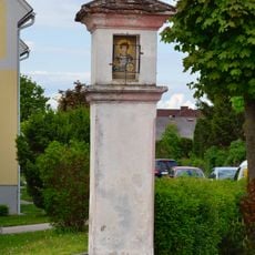
Wayside shrine Prandtauerring, Herzogenburg
521 m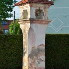
Bildstock
779 m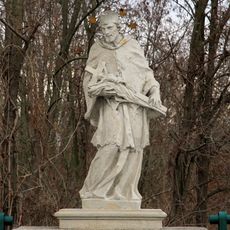
Figurenbildstock hl. Johannes Nepomuk
921 m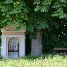
Tabernitius-Kreuz
1.2 km
Gasthaus „Altes Brauhaus“
424 m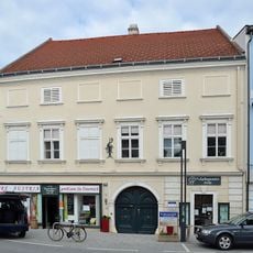
Bürgerhaus
391 m
Bürgerhaus
407 mVisited this place? Tap the stars to rate it and share your experience / photos with the community! Try now! You can cancel it anytime.
Discover hidden gems everywhere you go!
From secret cafés to breathtaking viewpoints, skip the crowded tourist spots and find places that match your style. Our app makes it easy with voice search, smart filtering, route optimization, and insider tips from travelers worldwide. Download now for the complete mobile experience.

A unique approach to discovering new places❞
— Le Figaro
All the places worth exploring❞
— France Info
A tailor-made excursion in just a few clicks❞
— 20 Minutes