
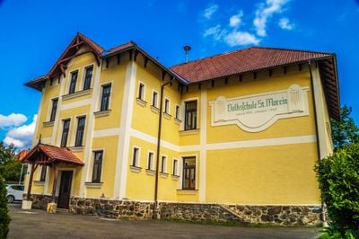
Umfriedung, Volksschule, building in Sankt Marein-Feistritz, Austria
Location: Sankt Marein-Feistritz
GPS coordinates: 47.27165,14.86083
Latest update: March 5, 2025 11:35
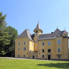
Schloss Prankh
1 km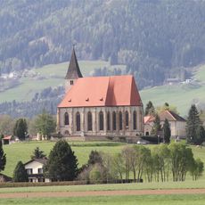
Pfarrkirche Sankt Marein bei Knittelfeld
377 m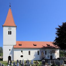
Kath. Pfarrkirche hll. Johannes der Täufer und Evangelisten
2.4 km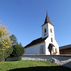
Pfarrkirche hl. Laurentius, Sankt Lorenzen bei Knittelfeld
3.6 km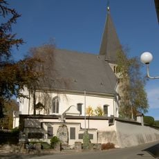
Church Saint Rupert
3 km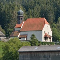
Filialkirche St. Benedikt, Sankt Benedikten
3.8 km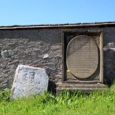
Friedhof christlich, Grabstein/Grabplatte
2.4 km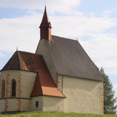
Kath. Filialkirche St. Martha
773 m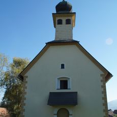
Filialkirche hl. Koloman, Kobenz
4.4 km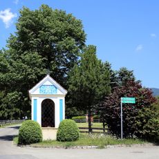
Nischen-/Kapellenbildstock, Figur Oberreiter Muttergottes mit Kind
3.1 km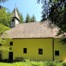
Kath. Filialkirche Schutzengelkirche/Schachenkirche
4.1 km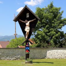
Friedhofskreuz, Friedhof christlich
3.6 km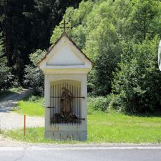
Nischen-/Kapellenbildstock, Eggmüllerkreuz, hl. Johannes Nepomuk
4.2 km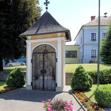
Flur-/Wegkapelle
3.6 km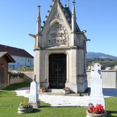
Gruftkapelle Feisler
3.4 km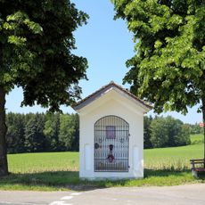
Flur-/Wegkapelle, Schlosskreuz
1.2 km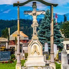
Friedhofskreuz
3.4 km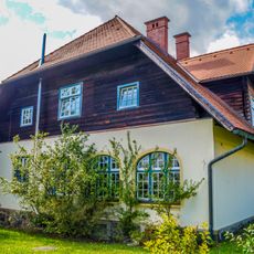
Villa Hauptstraße 16, St. Marein
75 m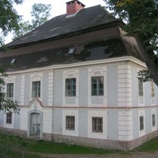
Fichtenhof St. Lorenzen
3.4 km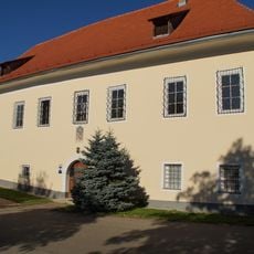
Pfarrhof hl. Rupert, Kobenz
2.9 km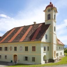
Gewerkenschlössl
1.8 km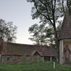
Nepomukstatue St. Lorenzen
3.4 km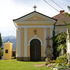
Mausoleum Weinmeister
355 m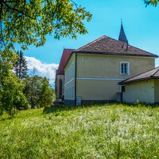
Pfarrhof Sankt Marein bei Knittelfeld
332 m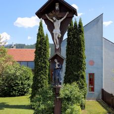
Ländwirtskreuz
3.7 km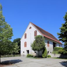
Wirtschaftsgebäude, Stadl, Aufbewahrungshalle
341 m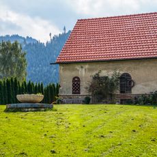
Pfarrhof
3.7 km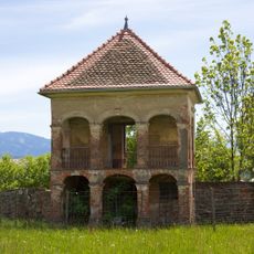
Gartenhaus
1.7 kmReviews
Visited this place? Tap the stars to rate it and share your experience / photos with the community! Try now! You can cancel it anytime.
Discover hidden gems everywhere you go!
From secret cafés to breathtaking viewpoints, skip the crowded tourist spots and find places that match your style. Our app makes it easy with voice search, smart filtering, route optimization, and insider tips from travelers worldwide. Download now for the complete mobile experience.

A unique approach to discovering new places❞
— Le Figaro
All the places worth exploring❞
— France Info
A tailor-made excursion in just a few clicks❞
— 20 Minutes