
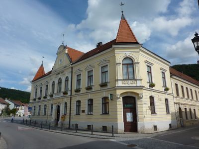
Gemeindeamt, Denkmalgeschütztes Objekt in Furth bei Göttweig (84626)
Location: Furth bei Göttweig
Address: Untere Landstraße 17
GPS coordinates: 48.37414,15.61247
Latest update: March 11, 2025 16:47
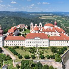
Göttweig Abbey
840 m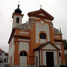
Pfarrkirche Brunnkirchen
1.9 km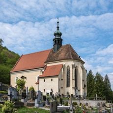
Filialkirche St. Blasius, Kleinwien
1.5 km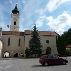
Pfarrkirche Furth bei Göttweig
74 m
Göttweig Abbey Library
840 m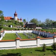
Konventsfriedhof Stift Göttweig
1.1 km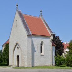
Erentrudiskapelle, Stift Göttweig
885 m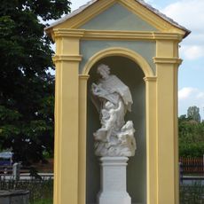
Wegkapelle Johannes Nepomuk Furth bei Göttweig
25 m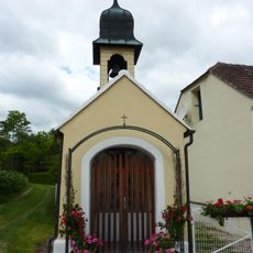
Kapelle
639 m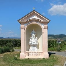
Wayside shrine
1.3 km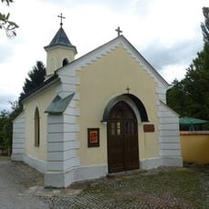
Ortskapelle
1.5 km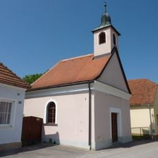
Ortskapelle
1.6 km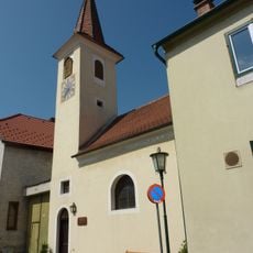
Ortskapelle Hl. Dreifaltigkeit
1.2 km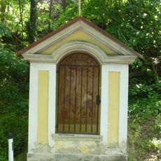
Kreuzweg Geheimnisse des Schmerzhaften Rosenkranzes Stift Göttweig
1.6 km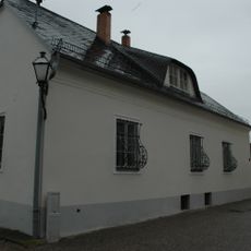
Pfarrhof
1.9 km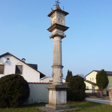
Fünfkreuz Furth
676 m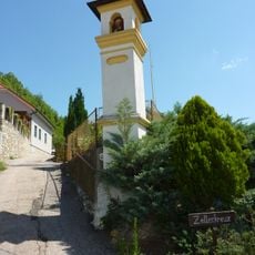
Bildstock
1.2 km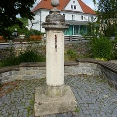
Pranger
24 m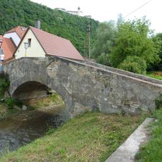
Furth Fladnitzbrücke
136 m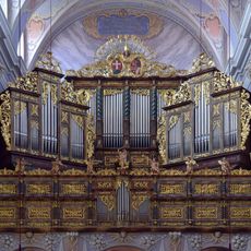
Walcker-Mayer (Guntramsdorf), op. 5770
841 m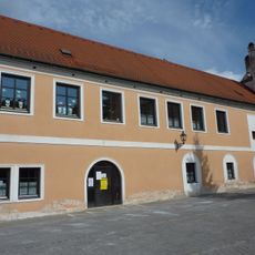
Wohnhaus, Teil des ehem. Meierhofs
48 m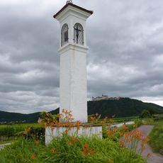
Bildstock Zellerkreuz
1.2 km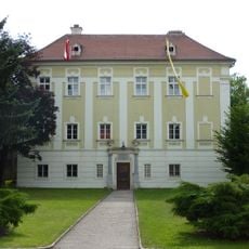
Pfarrhof Furth bei Göttweig
74 m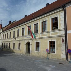
Volksschule Furth bei Göttweig
22 m
Zellergraben
641 m
Gutshof/Meierhof (herrschaftlich)
106 m
Wohnhaus, Ava-Turm
1.4 km
Wirtschaftsgebäude
98 mReviews
Visited this place? Tap the stars to rate it and share your experience / photos with the community! Try now! You can cancel it anytime.
Discover hidden gems everywhere you go!
From secret cafés to breathtaking viewpoints, skip the crowded tourist spots and find places that match your style. Our app makes it easy with voice search, smart filtering, route optimization, and insider tips from travelers worldwide. Download now for the complete mobile experience.

A unique approach to discovering new places❞
— Le Figaro
All the places worth exploring❞
— France Info
A tailor-made excursion in just a few clicks❞
— 20 Minutes