
Bildstock in Ried im Oberinntal, wayside shrine
Location: Ried im Oberinntal
GPS coordinates: 47.05389,10.65288
Latest update: October 17, 2025 10:40

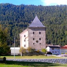
Schloss Sigmundsried, Ried im Oberinntal
111 m
Pfarrkirche hl. Leonhard, Ried im Oberinntal
105 m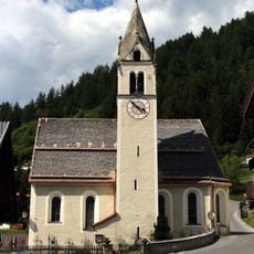
Pfarrkirche Mariä Himmelfahrt, Fendels
1.8 km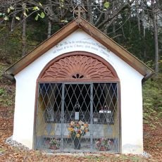
Freinlekapelle, Serfaus
1.6 km
Friedhof Ried im Oberinntal
104 m
Ansitz Payr, Ried im Oberinntal
218 m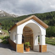
Dorfkapelle Fendels
2.1 km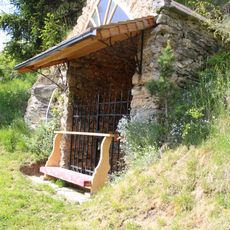
Lourdeskapelle, Fendels
1.9 km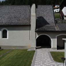
Totenkapelle, Fendels
1.8 km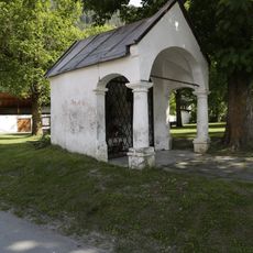
Schulerkapelle
152 m
Loretokapelle
231 m
Christina-Bach-Brücke, Ried im Oberinntal
2 km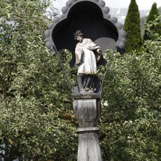
Nepomukbrunnen
228 m
Bildstock hl. Martin
2.2 km
Sägemühle, Ried im Oberinntal
2 km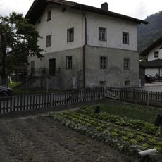
Ried im Oberinntal, Hausnummer 16
194 m
Dorfbrunnen hl. Martin, Fendels
1.8 km
Kreuzweg (Ried im Oberinntal)
566 m
Kalvarienberg
2.2 km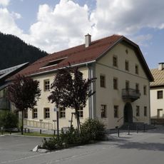
Arzthaus
74 m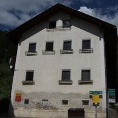
Widum, Fendels
1.8 km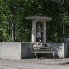
Bildstock hl. Johannes Nepomuk, Innbrücke, Ried im oberen Inntal
384 m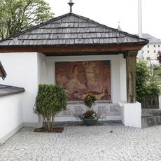
Kriegerdenkmal
88 m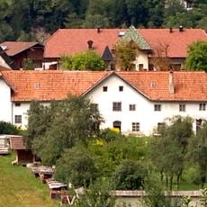
Kapuzinerkloster Ried im Oberinntal
240 m
Sterzingerhaus, Ried im Oberinntal
205 m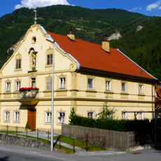
Ansitz, Schweiglhaus
125 m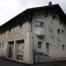
Lagerhaus Ried im Oberinntal
569 m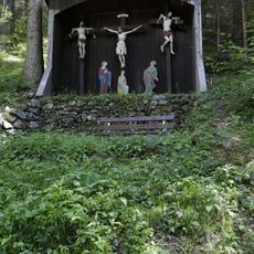
Kalvarienberg
794 mReviews
Visited this place? Tap the stars to rate it and share your experience / photos with the community! Try now! You can cancel it anytime.
Discover hidden gems everywhere you go!
From secret cafés to breathtaking viewpoints, skip the crowded tourist spots and find places that match your style. Our app makes it easy with voice search, smart filtering, route optimization, and insider tips from travelers worldwide. Download now for the complete mobile experience.

A unique approach to discovering new places❞
— Le Figaro
All the places worth exploring❞
— France Info
A tailor-made excursion in just a few clicks❞
— 20 Minutes