
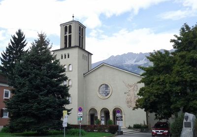
Schutzengelkirche, church building in Innsbruck, Austria
Location: Innsbruck
Address: Gumppstraße 65
GPS coordinates: 47.26643,11.41583
Latest update: March 11, 2025 02:17
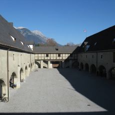
Zeughaus
794 m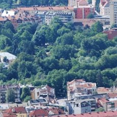
Rapoldipark
717 m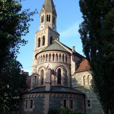
Pfarrkirche Pradl
597 m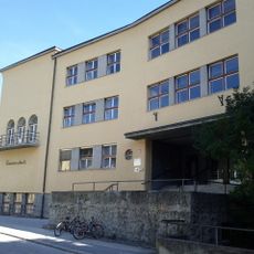
THS Pembaurstraße
487 m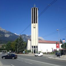
Pauluskirche
731 m
Auferstehungskirche
735 m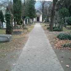
Militärfriedhof Pradl
742 m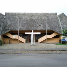
Kath. Pfarrkirche hl. Norbert
683 m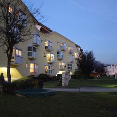
Wohnanlage Amthorstraße
196 m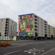
Wohnen am Park
525 m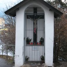
Pradl, Kapellenbildstock
517 m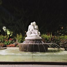
Salige-Fräulein-Brunnen
667 m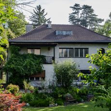
Villa Rhomberg
784 m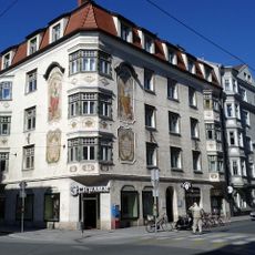
Pradler Straße 38
507 m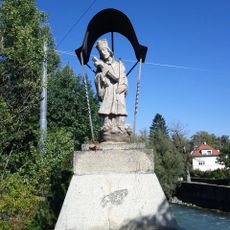
Figurenbildstock hl. Johannes Nepomuk u. Geländer
717 m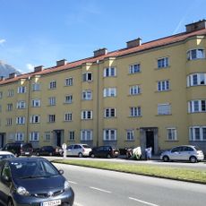
Pembaurblock, Innsbruck
297 m
Brunnen hl. Florian
606 m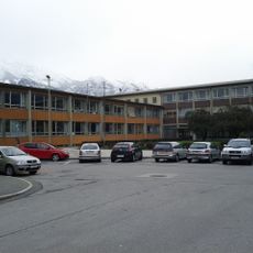
Ehem. Doppelvolksschule Pradl Ost, heute Schulanlage Siegmairstraße-Lönsstraße
536 m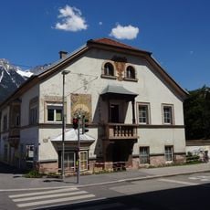
Dodlhof
385 m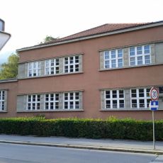
Kindergarten Pradl
416 m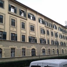
Städtischer Wohnblock
192 m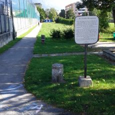
Rosssprung Pradl
237 m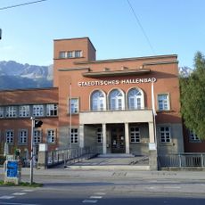
Städtisches Hallenbad
793 m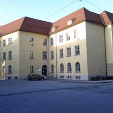
Leitgebschule
606 m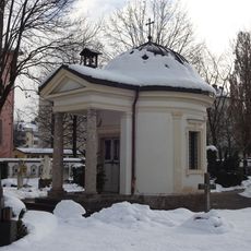
Kapelle am Militärfriedhof
739 m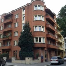
Kommunaler Wohnbau mit Umfriedung
624 m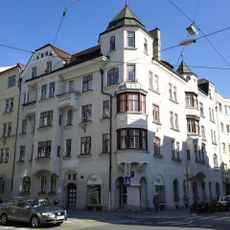
Miethaus, Wohn- und Geschäftshaus
473 m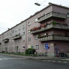
Kommunaler Wohnbau, Greinzblock
426 mReviews
Visited this place? Tap the stars to rate it and share your experience / photos with the community! Try now! You can cancel it anytime.
Discover hidden gems everywhere you go!
From secret cafés to breathtaking viewpoints, skip the crowded tourist spots and find places that match your style. Our app makes it easy with voice search, smart filtering, route optimization, and insider tips from travelers worldwide. Download now for the complete mobile experience.

A unique approach to discovering new places❞
— Le Figaro
All the places worth exploring❞
— France Info
A tailor-made excursion in just a few clicks❞
— 20 Minutes