
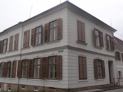
Volksschule, building in Sankt Ruprecht an der Raab, Austria
Location: Sankt Ruprecht an der Raab
Address: Obere Hauptstraße 111
GPS coordinates: 47.15468,15.66228
Latest update: April 16, 2025 02:31
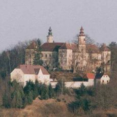
Schloss Freiberg
3.6 km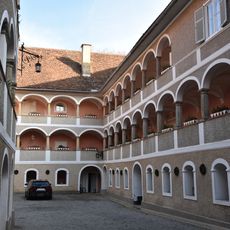
Schloss Stadl an der Raab
2.3 km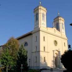
Pfarrkirche Eggersdorf bei Graz
5.9 km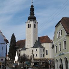
Pfarrkirche Sankt Ruprecht an der Raab
52 m
Kalvarienbergkirche Breitegg
3.2 km
Tratten-Kapelle
5.6 km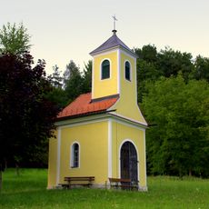
Rupertikapelle, Postelgraben
4 km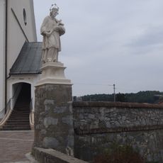
Ehem. Friedhof mit Stiegenanlage, Ummauerung und integr. Figurenbildstock hl. Johannes Nepomuk
110 m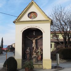
Flur-/Wegkapelle Spitalkreuz
176 m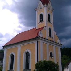
Ortskapelle Zur Kreuzerhöhung
4 km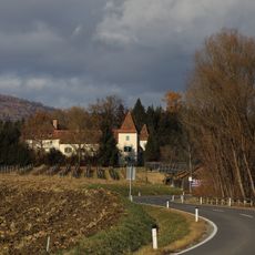
Schloss Münichhofen
5.8 km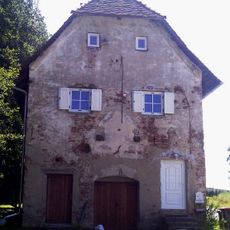
Kellerstöckl, Ludersdorf
3.8 km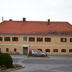
Ehem. Bürgerspital, Armenhaus
166 m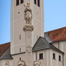
Mariensäule
133 m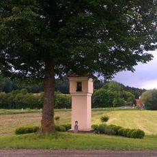
Bildstock Pestkreuz
3.8 km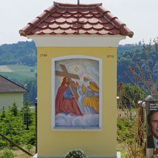
Bildstock
4.8 km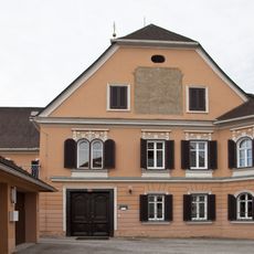
Pfarrhof (Dechantei)
52 m
Mesnerkeusche-Rollsdorf
4.8 km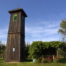
Wetterturm-Rollsdorf
4.8 km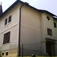
Evang. Pfarramt, sog. Villa Sullivan
6.1 km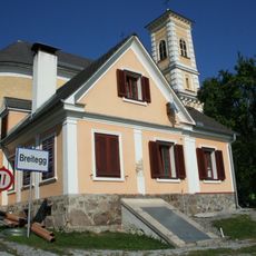
Mesnerhaus
3.2 km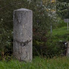
Meilenstein
6.1 km
Hügelgräberfeld Giging
5.9 km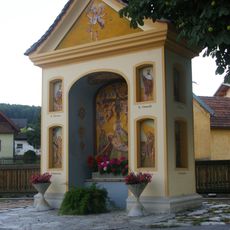
Bildstock
5.2 km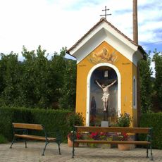
Bildstock
5.5 km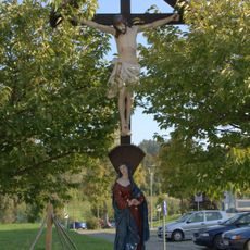
Kruzifix
5.9 km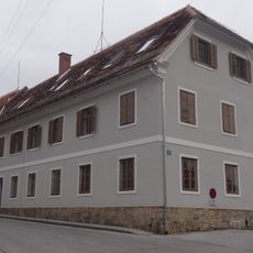
Privatvolksschule der Dominikanerinnen
8 m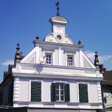
Kulturkeller der Stadt Gleisdorf
6.1 kmReviews
Visited this place? Tap the stars to rate it and share your experience / photos with the community! Try now! You can cancel it anytime.
Discover hidden gems everywhere you go!
From secret cafés to breathtaking viewpoints, skip the crowded tourist spots and find places that match your style. Our app makes it easy with voice search, smart filtering, route optimization, and insider tips from travelers worldwide. Download now for the complete mobile experience.

A unique approach to discovering new places❞
— Le Figaro
All the places worth exploring❞
— France Info
A tailor-made excursion in just a few clicks❞
— 20 Minutes