
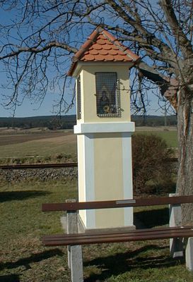
Wayside shrine, wayside shrine in Hölles, Lower Austria, Austria
Location: Matzendorf-Hölles
Address: Hauptstraße Kreuzug Bahnstraße 2751
GPS coordinates: 47.89977,16.20163
Latest update: October 17, 2025 10:40
Heilsamer Brunnen Leobersdorf
1.8 km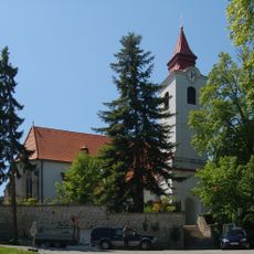
Pfarrkirche hl. Margareta, Enzesfeld
2.9 km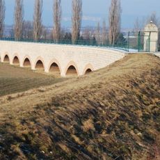
Leobersdorf Aqueduct
2.6 km
Bürgerspitalskirche Enzesfeld
2.7 km
Pfarrkirche Matzendorf
1.3 km
Pfarrkirche Steinabrückl
3.2 km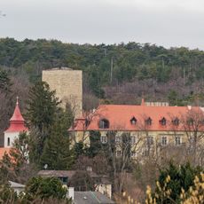
Schloss Enzesfeld
3 km
Katholische Filialkirche hl. Katharina, Lindabrunn
2.7 km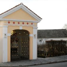
Johannes Nepomuk-Kapelle
3.2 km
Ortskapelle hl. Koloman
378 m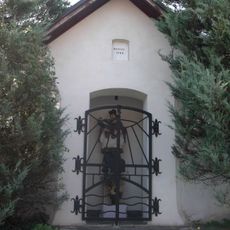
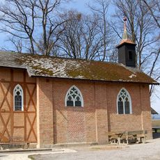
Flur-/Wegkapelle hl. Johannes Nepomuk
3.2 km
Gruftkapelle der Brüder Glanz
3.2 km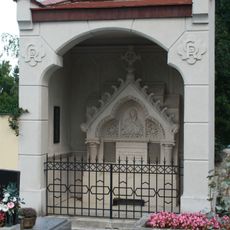
Gruftkapelle Fam. Roth
3.2 km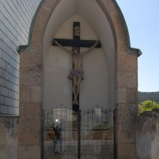
Lindabrunner Kapelle
2.5 km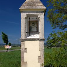
Bildstock Pöllakreuz
2.1 km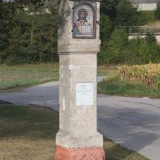
Wayside shrine
354 m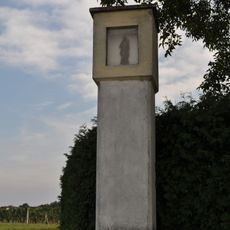
Bildstock
1.4 km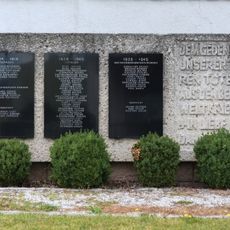
War memorial Matzendorf
1.3 km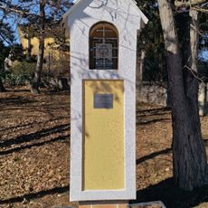
Wayside shrine
3 km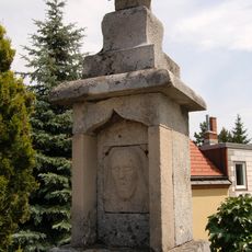
Bildstock Steinernes Kreuz
2.2 km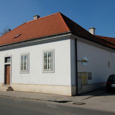
Pfarrhof
1.3 km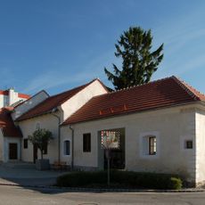
LEUM - Lichtmuseum Leobersdorf
3.2 km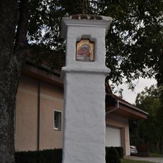
Bildstock Schießplatzstraße, Hölles
654 m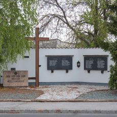
War memorial Hölles
523 m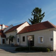
Wohnhaus
3.1 km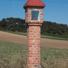
Wayside shrine
1.1 km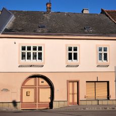
Bürgerhaus
3.1 km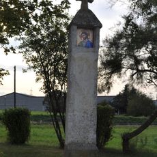
Bildstock
1 kmReviews
Visited this place? Tap the stars to rate it and share your experience / photos with the community! Try now! You can cancel it anytime.
Discover hidden gems everywhere you go!
From secret cafés to breathtaking viewpoints, skip the crowded tourist spots and find places that match your style. Our app makes it easy with voice search, smart filtering, route optimization, and insider tips from travelers worldwide. Download now for the complete mobile experience.

A unique approach to discovering new places❞
— Le Figaro
All the places worth exploring❞
— France Info
A tailor-made excursion in just a few clicks❞
— 20 Minutes