
Lainsitzniederung, protected area in Austria
Location: Gmünd
Inception: 2017
GPS coordinates: 48.78166,14.98776
Latest update: March 25, 2025 05:04

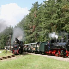
Waldviertel narrow gauge railways
7.9 km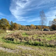
Blockheide
625 m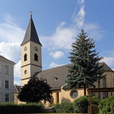
Kirche St. Stephan Gmünd, Lower Austria
919 m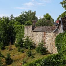
Stadtmauer Gmünd
965 m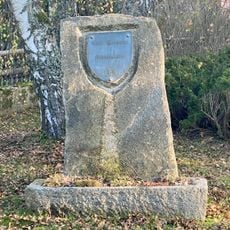
Gedenkstein Carl Hermann
946 m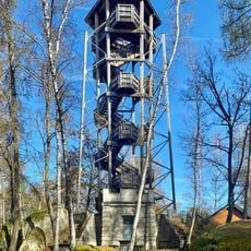
Blockheideturm
629 m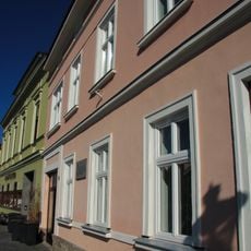
Haus Stadtplatz 39
950 m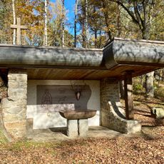
Saint Hubertus Chapel
730 m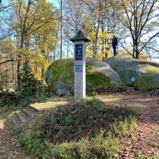
Carl-Hermann-Bildstock
681 m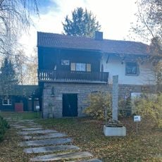
Carl-Hermann-Haus
967 m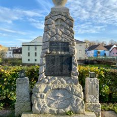
Böhmzeil war memorial
861 m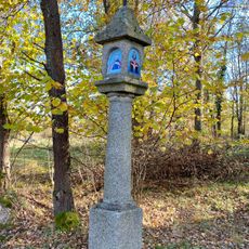
Bildstock beim Blockheideteich
853 m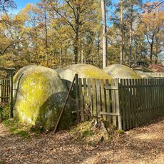
Stone labyrinth
629 m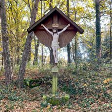
Kreuz am Weg
910 m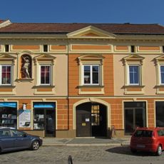
Stadtplatz 29, Gmünd
962 m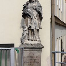
Johannes Nepomuk, Gmünd NÖ
908 m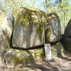
Koboldsteine
525 m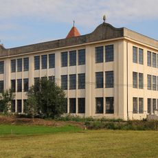
Eisenbergerfabrik, Gmünd
722 m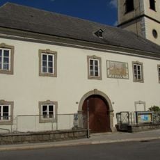
Pfarrhof Gmünd, Lower Austria
913 m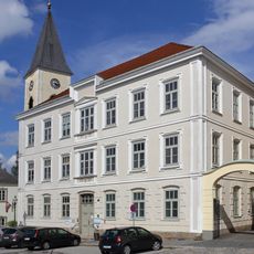
Stadtplatz 52, Gmünd
939 m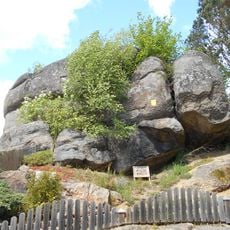
NÖ-Naturdenkmal GD-026 Felsgebilde Fuchsstein
907 m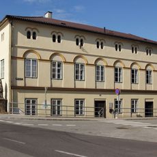
Bruckmühle, Gmünd
889 m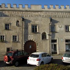
Stadtplatz 31, Gmünd
946 m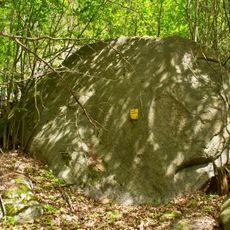
NÖ-Naturdenkmal GD-075 Felsgebilde Vierhartln
684 m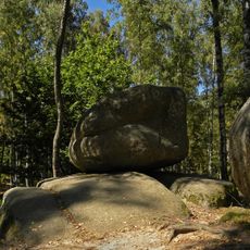
Rocking stone near Blockheide observation tower
557 m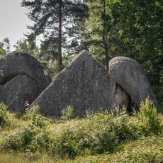
Pyramidenstein
414 m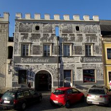
Stadtplatz 33, Gmünd
943 m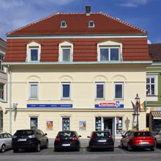
Stadtplatz 50, Gmünd
958 mReviews
Visited this place? Tap the stars to rate it and share your experience / photos with the community! Try now! You can cancel it anytime.
Discover hidden gems everywhere you go!
From secret cafés to breathtaking viewpoints, skip the crowded tourist spots and find places that match your style. Our app makes it easy with voice search, smart filtering, route optimization, and insider tips from travelers worldwide. Download now for the complete mobile experience.

A unique approach to discovering new places❞
— Le Figaro
All the places worth exploring❞
— France Info
A tailor-made excursion in just a few clicks❞
— 20 Minutes