
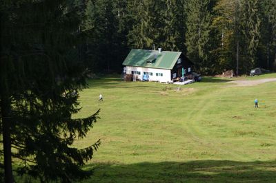
Lankhut, Ski hut at Boedele, Vorarlberg, Austria
Location: Schwarzenberg
Elevation above the sea: 1,230 m
GPS coordinates: 47.41301,9.80774
Latest update: March 25, 2025 09:03
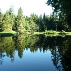
Boedelesee
1.1 km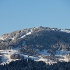
Hochälpelekopf
1.2 km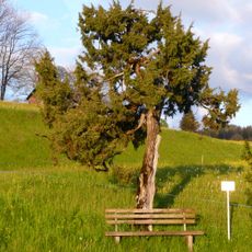
Ammenegg
2.6 km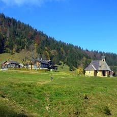
Alp Hochaelpele
1.7 km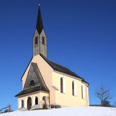
Kapelle Hl. Ottilie
3.1 km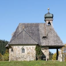
St. Benedikt
1.8 km
Kapelle Maria Schnee, Kehlegg
2.5 km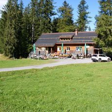
Dornbirner Hütte
387 m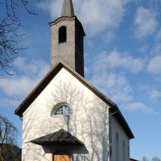
Our Lady of the Snow Chapel
3.2 km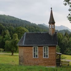
Kapelle Ammenegg
2.6 km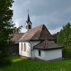
Lourdeskapelle Maltach
2.3 km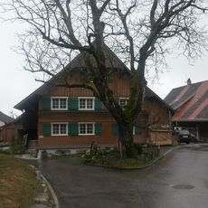
Bantlingen
3.2 km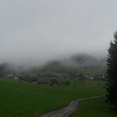
Unterries
3 km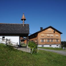
Hl. Maria Weißtannen, Schwarzenberg
998 m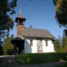
Holy-Mary-Chapel
1.1 km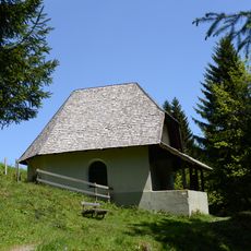
Kapelle selige Ilga, Schwarzenberg
2.1 km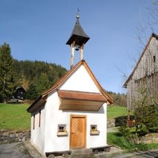
Kapelle Hl. Maria in Schauner Watzenegg
2.2 km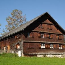
Bauernhof (Anlage)
2.5 km
Bauernhof (Anlage), Vorsäßhütte
3 km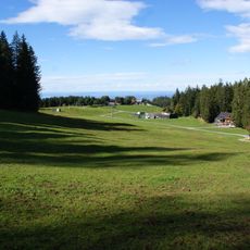
Alp Oberlose
439 m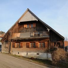
Bauernhaus
2.6 km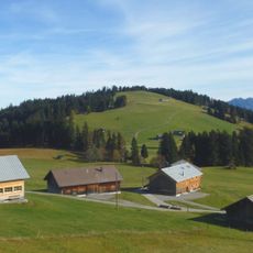
Geißkopf
2.2 km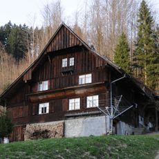
Bauernhaus
3.2 km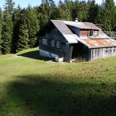
Adolf-Hemrich-Huette
383 m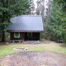
Friedrichshafener Lankhut
56 m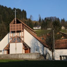
Kapelle Maria Hilf, Watzenegg
3.2 km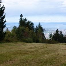
Seewarte
1.3 km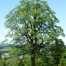
Natural monument Sycamore maple
2.4 kmReviews
Visited this place? Tap the stars to rate it and share your experience / photos with the community! Try now! You can cancel it anytime.
Discover hidden gems everywhere you go!
From secret cafés to breathtaking viewpoints, skip the crowded tourist spots and find places that match your style. Our app makes it easy with voice search, smart filtering, route optimization, and insider tips from travelers worldwide. Download now for the complete mobile experience.

A unique approach to discovering new places❞
— Le Figaro
All the places worth exploring❞
— France Info
A tailor-made excursion in just a few clicks❞
— 20 Minutes