Schwarzenberg, municipality in Bregenz District, Vorarlberg, Austria
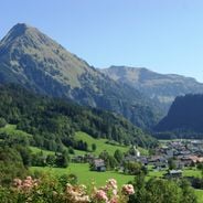
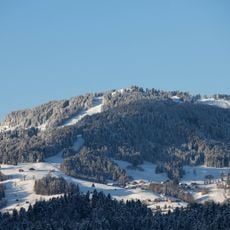
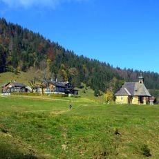
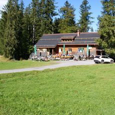
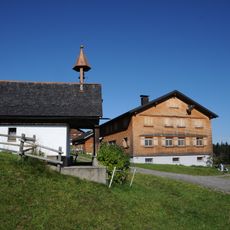
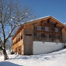
Schwarzenberg is a small municipality in the Austrian region of Vorarlberg, located in the Bregenz District on a hillside. The place features narrow streets, traditional wooden buildings, and countryside that shifts with the seasons, from snow-covered slopes in winter to green meadows in summer.
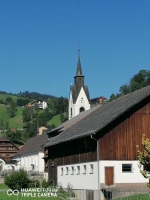
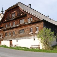
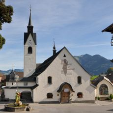
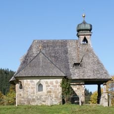
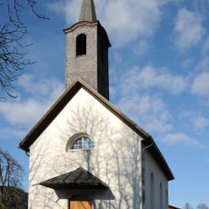
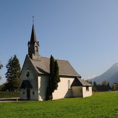
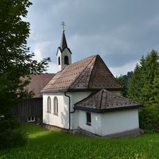
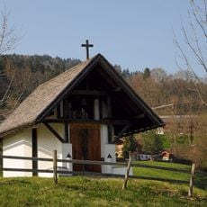
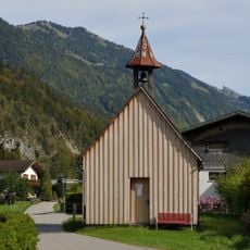
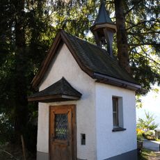
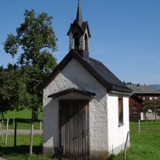
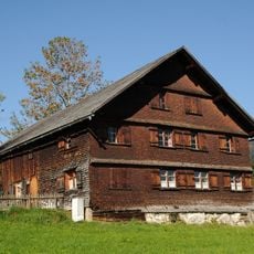
Schwarzenberg developed over centuries as a mountain village with traditional wooden construction and farming. The Trinity Church and the architecture tell the story of a long history that remains visible today in the buildings and the way residents live.
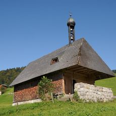
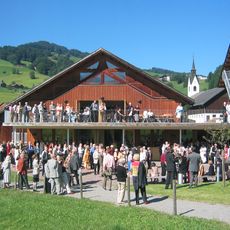
The name Schwarzenberg refers to the dark hillsides that define the place. Today the village is shaped by traditional wooden buildings and community gatherings, especially during the Advent season when locals and visitors experience local crafts and holiday traditions together.
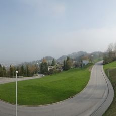
The village is easy to explore on foot and accessible by bicycle since streets are quiet and hills rise gently. Visitors should wear sturdy footwear and prepare for changing weather, as the elevation brings rain and snow throughout the year.
The Angelika Kauffmann Museum honors the artist born here who later pursued an international art career. Her paintings and life story are displayed in the village, connecting local heritage with broader European art history.
The community of curious travelers
AroundUs brings together thousands of curated places, local tips, and hidden gems, enriched daily by 60,000 contributors worldwide.