
Römerstraße im Laßnitztal, موقع أثري في النمسا
Location: Groß Sankt Florian
Address: Unterbergla
GPS coordinates: 46.81474,15.32023
Latest update: April 7, 2025 23:08
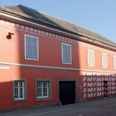
Feuerwehrmuseum, Groß Sankt Florian
967 m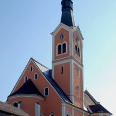
Pfarrkirche Groß Sankt Florian
1 km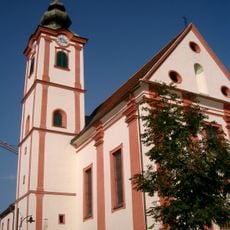
Pfarrkirche St. Andrä im Sausal
5.1 km
Pfarrkirche Wettmannstätten
5.2 km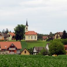
Ortskapelle „Maria Hilf“
4.7 km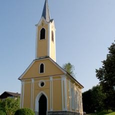
Chapel Lassenberg
3.8 km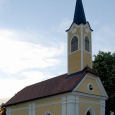
Dorfkapelle Lasselsdorf, Rassach
4.9 km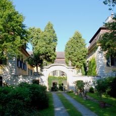
Schloss Dornegg, Groß Sankt Florian
2.9 km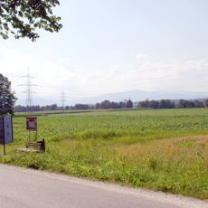
Römische Villa Grünau, Laßnitztal
1.1 km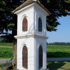
Bildstock Petzelsdorf, Groß Sankt Florian
1.8 km
Römerzeitliche Villa rustica Grünau
1.3 km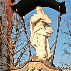
Kriegerdenkmal
5.1 km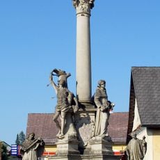
Mariensäule, Groß Sankt Florian
1.1 km
War Memorial
5.2 km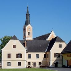
Pfarrhof Groß Sankt Florian
1.1 km
Hügelgräbergruppe Grubberg
2 km
Römerzeitliche Siedlung beim Fastlbauer
4.8 km
Grabhügelgruppe Großöden
3.1 km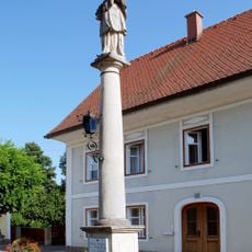
Nepomuk-Säule, Groß Sankt Florian
846 m
Gräberfeld an der Radlpass Straße, Tanzelsdorf
5.1 km
Pfarrhof, St. Andrä im Sausal
5.1 km
Hügelgräber Michlgleinz, Mönichgleinz, St. Andrä im Sausal
3.7 km
Fundstelle Hasreith, Unterbergla
3.7 km
Römerzeitliche Siedlung im Laßnitztal bei Krottendorf, Groß Sankt Florian
3.3 km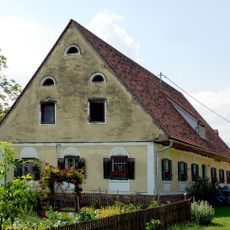
Bauernhaus Oberberglastraße Frauental
4.5 km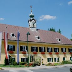
Rathaus Gemeindeamt Frauental
5 km
Römerzeitliche Siedlung Laßnitztal – Lassenberg
3.2 km
Grabhügelgruppe und römerzeitliches Siedlungsgebiet Otternitz
4.2 kmReviews
Visited this place? Tap the stars to rate it and share your experience / photos with the community! Try now! You can cancel it anytime.
Discover hidden gems everywhere you go!
From secret cafés to breathtaking viewpoints, skip the crowded tourist spots and find places that match your style. Our app makes it easy with voice search, smart filtering, route optimization, and insider tips from travelers worldwide. Download now for the complete mobile experience.

A unique approach to discovering new places❞
— Le Figaro
All the places worth exploring❞
— France Info
A tailor-made excursion in just a few clicks❞
— 20 Minutes