
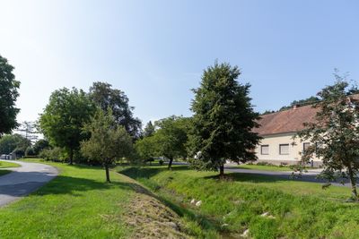
Drumlingbach, stream in Burgenland, Austria
Location: Unterwart
Location: Rotenturm an der Pinka
Location: Stadtschlaining
Location: Bad Tatzmannsdorf
Location: Mariasdorf
GPS coordinates: 47.27627,16.26312
Latest update: October 29, 2025 18:35
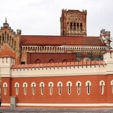
Schloss Rotenturm
3.1 km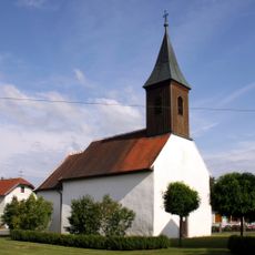
Saint Ladislaus Church, Siget in der Wart
2.1 km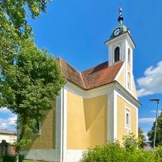
Pfarrkirche hl. Martin in der Wart
3.1 km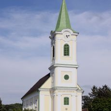
Protestant Church, Siget in der Wart
2.1 km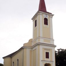
All Saints Church, Rotenturm an der Pinka
3.2 km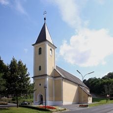
Unterwart Parish Church
3 km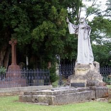
Erdődy Cemetery
3.2 km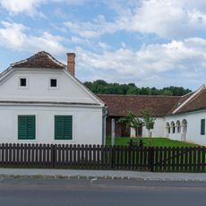
Heimathaus Unterwart
2.9 km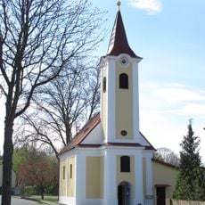
Kath. Filialkirche hll. Fabian und Sebastian
336 m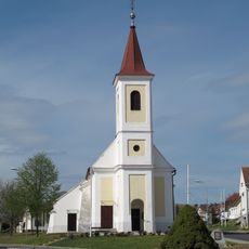
Kath. Filialkirche hl. Barbara
3.2 km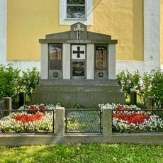
Kriegerdenkmal St. Martin in der Wart
3.1 km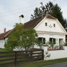
Ehem. Bauernhaus
2.2 km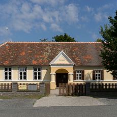
Kindergarten und Volksschule, Siget in der Wart
2.1 km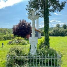
Wegkreuz, St. Martin in der Wart
3.1 km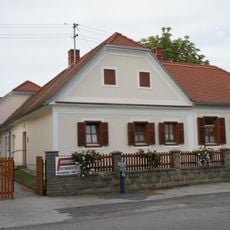
Wohnhaus
2.1 km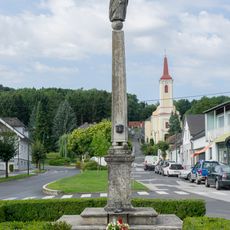
Maria column, Rotenturm an der Pinka
3 km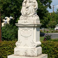
Figurenbildstock, Madonnenfigur
317 m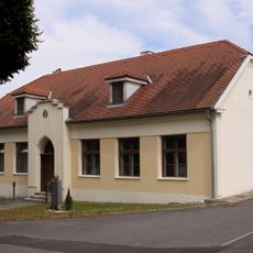
Volksschule Unterwart
3 km
Evangelische Friedhofskirche Oberwart
3.5 km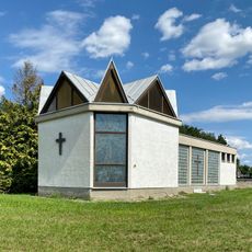
St. Martin in der Wart Mortuary
3 km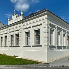
Volksschule St. Martin in der Wart
3.1 km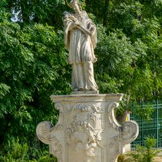
Statue of John of Nepomuk, Rotenturm an der Pinka
2.7 km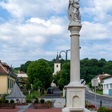
Mariensäule Unterwart
2.9 km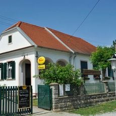
Gasthaus Kirchenwirt, Siget in der Wart
2.1 km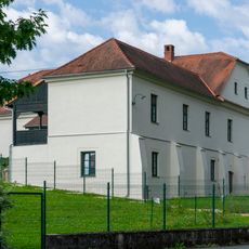
Altes Gemeindeamt Rotenturm an der Pinka
3.2 km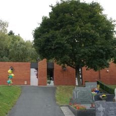
Aufbahrungshalle Rotenturm an der Pinka
3.3 km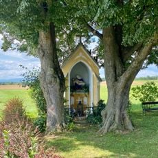
Wegkapelle, St. Martin in der Wart
3.5 km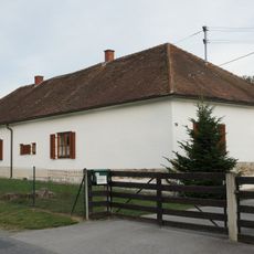
Evang. Pfarrhof
2.2 kmReviews
Visited this place? Tap the stars to rate it and share your experience / photos with the community! Try now! You can cancel it anytime.
Discover hidden gems everywhere you go!
From secret cafés to breathtaking viewpoints, skip the crowded tourist spots and find places that match your style. Our app makes it easy with voice search, smart filtering, route optimization, and insider tips from travelers worldwide. Download now for the complete mobile experience.

A unique approach to discovering new places❞
— Le Figaro
All the places worth exploring❞
— France Info
A tailor-made excursion in just a few clicks❞
— 20 Minutes