
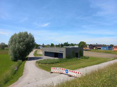
Wasserwerk Hofsteig, Wasserversorgung über einen Grundwasserbrunnen (Alpenrhein) für dei Hofsteig-Gemeinden
Location: Hard
Elevation above the sea: 398 m
GPS coordinates: 47.47581,9.66698
Latest update: March 4, 2025 10:50
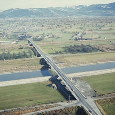
Rhine bridge Hard–Fußach
301 m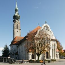
Pfarrkirche Hl. Johannes der Täufer
2.8 km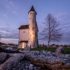
Mittelweiherburg
2.9 km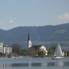
Pfarrkirche Hl. Sebastian
2.4 km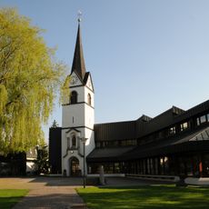
Saint Nicholas Church
519 m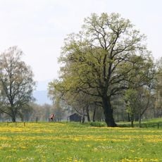
Lauteracher Ried
2.9 km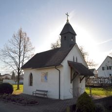
Lourdeskapelle an der Kapellenstraße in Höchst (Vorarlberg)
1.8 km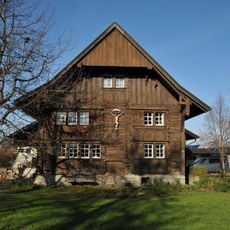
Bauernhof an der Dr. Schneider-Straße 33, Höchst
2.4 km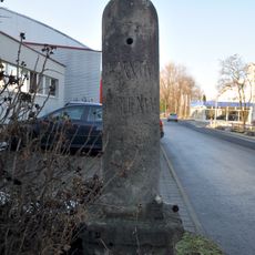
Römerstein in Hard
753 m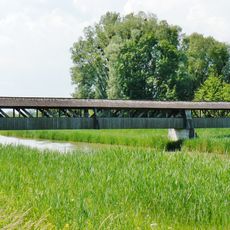
Holzbrücke, Dornbirner Ach, Hard
1.6 km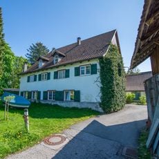
Ehem. Gasthaus Zum Bad, Bilgeri-Haus
2.6 km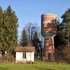
Wasserwerk Hard-Fußach mit Wasserturm
2.7 km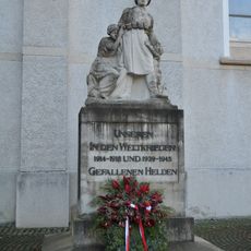
War memorial Höchst
2.8 km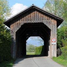
Straßenbrücke, Mühlwasenbrücke
821 m
Straßenbrücke, Mühlwasenbrücke
823 m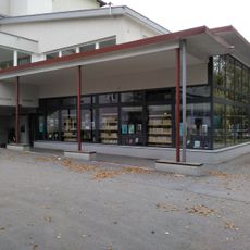
Bücherei am Bach
2.2 km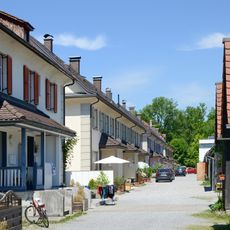
Arbeiter-/Angestelltenwohnhaus
2.9 km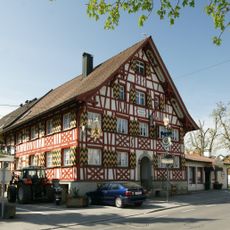
Hofsteigstraße 14
2.5 km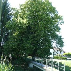
Natural monument Lime tree (Tilia cordata)
2.7 km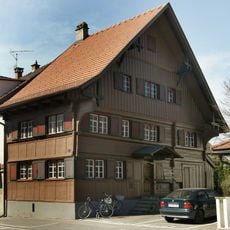
Landstraße 8 (Hard)
2.2 km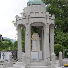
Kriegerdenkmal
504 m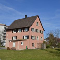
Altes Pfarramt an der Kirchstraße 21 in Hard
2.4 km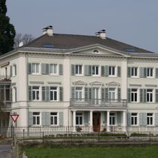
Landstraße 36
1.9 km
Arbeiter-/Angestelltenwohnhaus
3 km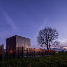
Wasserwerk Hard
2.8 km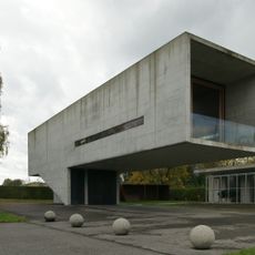
Hafenbüro Rohner
1.5 km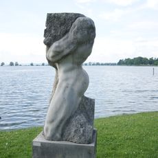
Statue "Seinen Mann stehen" by Gert Hoor
2.3 km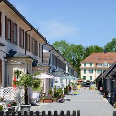
Arbeiterwohnhäuser
2.9 kmReviews
Visited this place? Tap the stars to rate it and share your experience / photos with the community! Try now! You can cancel it anytime.
Discover hidden gems everywhere you go!
From secret cafés to breathtaking viewpoints, skip the crowded tourist spots and find places that match your style. Our app makes it easy with voice search, smart filtering, route optimization, and insider tips from travelers worldwide. Download now for the complete mobile experience.

A unique approach to discovering new places❞
— Le Figaro
All the places worth exploring❞
— France Info
A tailor-made excursion in just a few clicks❞
— 20 Minutes