
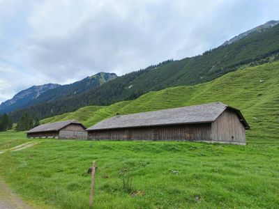
Alpe Vals, in the Gamperdonatal in the municipality Nenzing, Vorarlberg, Austria
Location: Nenzing
Elevation above the sea: 1,151 m
GPS coordinates: 47.12748,9.66119
Latest update: March 5, 2025 21:22
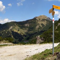
Galinakopf
4.1 km
Augstenberg
6.3 km
Schönberg
5.2 km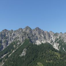
Hohe Köpfe
5.2 km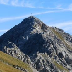
Ochsenkopf
3.1 km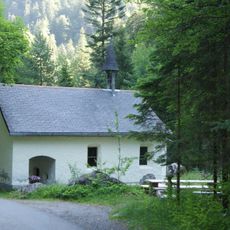
Kapelle Kühbruck
3.1 km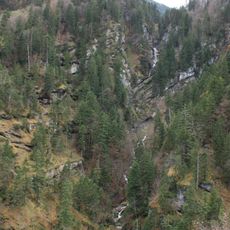
Gampfall
3.9 km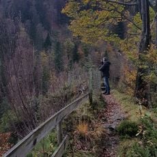
Buderhoehe
4.5 km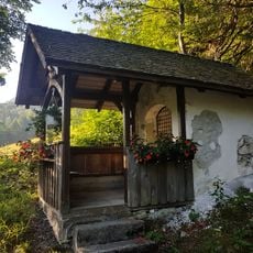
Wegkapelle Stellveder
5.9 km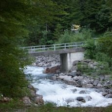
Kuehbruck
3.2 km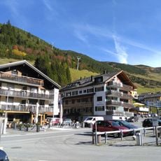
Sareis
4.2 km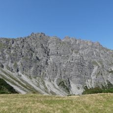
Tuklar
2.7 km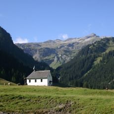
Chapel Saint Rochus
4.7 km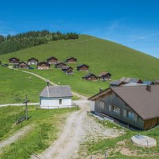
Wayside chapel Alpe Gamp
4 km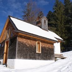
Chapel Sankt Martin
5.1 km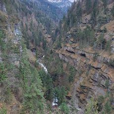
Mengschlucht
6.4 km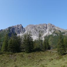
Alpilakopf
3.9 km
Nenzingerberg
5.3 km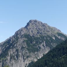
Fundelkopf
2.3 km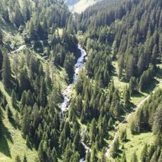
Stueberfall
5.8 km
Mottakopf
6.3 km
Brandeggakopf
5.5 km
Strahleck
6.1 km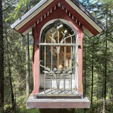
Boden-Bildstoeckle
2 km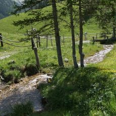
Gampbach
3.1 km
Altes Schulhaus
6.3 km
Rucheck
3.7 km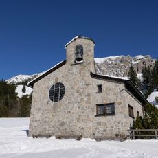
Peace Chapel Malbun
4.7 kmReviews
Visited this place? Tap the stars to rate it and share your experience / photos with the community! Try now! You can cancel it anytime.
Discover hidden gems everywhere you go!
From secret cafés to breathtaking viewpoints, skip the crowded tourist spots and find places that match your style. Our app makes it easy with voice search, smart filtering, route optimization, and insider tips from travelers worldwide. Download now for the complete mobile experience.

A unique approach to discovering new places❞
— Le Figaro
All the places worth exploring❞
— France Info
A tailor-made excursion in just a few clicks❞
— 20 Minutes