Schönberg, Mountain summit in the Rätikon range, Liechtenstein
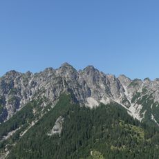
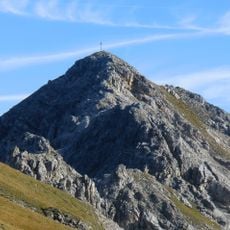
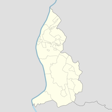
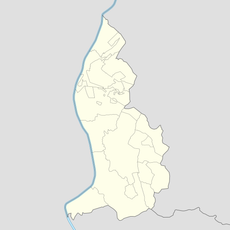
Schönberg is a 2,104-metre summit in the Rätikon range of the Eastern Alps, in Liechtenstein's Oberland about 3.5 km north-west of Malbun. Its broad, gently inclined southern slopes rise above the Saminatal valley, which drops steeply away directly to the west. A summit cross marks the top.
The sources record no documented history for Schönberg; it appears as a named 2,104 m summit in the Rätikon without an origin story, first ascent or dated event. Its written record is cartographic: the Kompass 1:50,000 map of Liechtenstein, Feldkirch and Vaduz (2nd edition, 2014) and Rudolf Mayerhofer's Alpenvereinsführer Rätikon describe the routes.
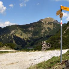
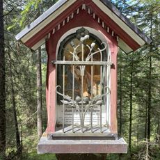
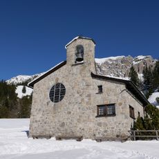
The summit cross is the goal of the two marked routes: from Malbun past the Friedenskapelle and the Sass-Seelein over the Sass-Fürkle (1,785 m) in about two hours, or from Steg through the Bärg in about two and a half hours. In winter the broad, moderately inclined southern slopes are often climbed on touring skis.
Marked hiking paths approach the summit from both Vaduz and Schaan, with varying routes and difficulty levels. Proper hiking boots and preparation for mountain conditions are important for the ascent.
The summit cross looks over a drop of about 1,600 metres into the Saminatal, a steep valley left largely in its natural state. On clear days the view reaches the Bodensee and, 115 km north, the Bussen hill.
The community of curious travelers
AroundUs brings together thousands of curated places, local tips, and hidden gems, enriched daily by 94,330 contributors worldwide.