
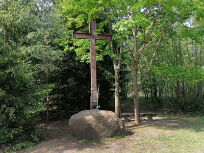
Gipfelkreuz Manhartsberg, Wegkreuz unweit des höchsten Punktes des Manhartsberges, Gemeinde Schönberg am Kamp (NÖ)
Location: Schönberg am Kamp
Inception: 2005
GPS coordinates: 48.54435,15.74884
Latest update: March 5, 2025 11:58
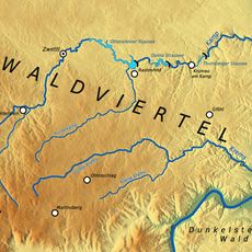
Manhartsberg
50 m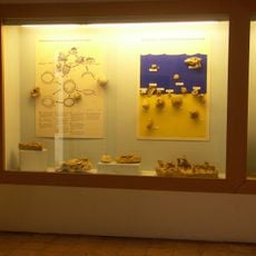
Fossilienschauraum Obernholz
3.5 km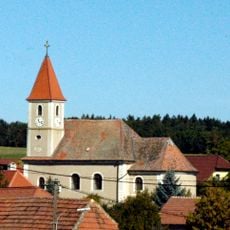
Pfarrkirche Eggendorf am Walde
2.6 km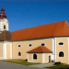
Pfarrkirche Zemling
3.6 km
Silberne Eiche, Schönberg am Kamp
595 m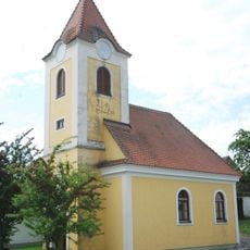
Chapel of Klein-Burgstall (Gemeinde Maissau)
1.9 km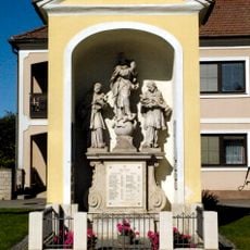
Eggendorf Kapelle GstNr 870
2.6 km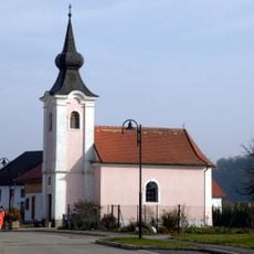
Reikersdorf Kapelle
3.2 km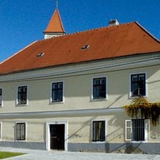
Pfarrhof Eggendorf am Walde, Gemeinde Maissau
2.6 km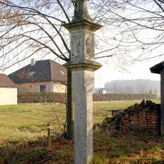
Reikersdorf Bildstock
3.1 km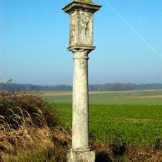
Maissau Bildstock
2.4 km
Former Pfarrhof Zemling
3.6 km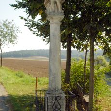
Bildstock „Christus in der Rast“
2 km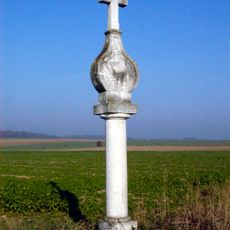
Bildstock Vierzehn Nothelfer
2.2 km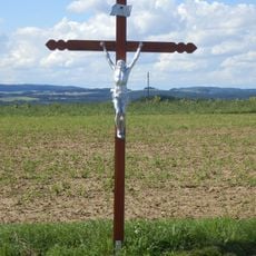
Lirschenkreuz
3.3 km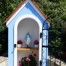
Kapellenbildstock in Kriegenreith
3 km
Heimkehrerkreuz Kriegenreith
3.1 km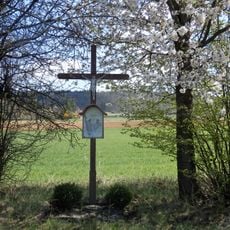
Holzkreuz bei Fernitz
3.6 km
Gnadenstuhl
1.9 km
Pietà am Manhartsberg
644 m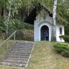
Hubertuskapelle, Fernitz
2.8 km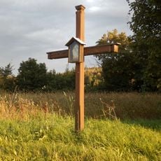
Holzkreuz Tettenhengstbergstraße
3.6 km
Holzkreuz an der Straße nach Klein Burgstall
3.5 km
Binderkreuz, Fernitz
3.3 km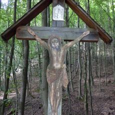
Rudolfskreuz, Weißer Graben
2.1 km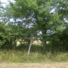
Hager-Kreuz
3.6 km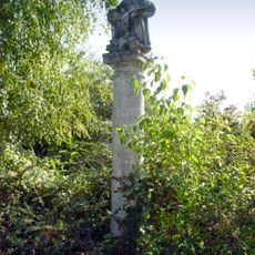
Gnadenstuhl
2.3 km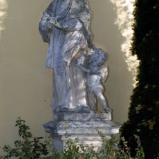
Figur hl. Johannes Nepomuk
2.7 kmVisited this place? Tap the stars to rate it and share your experience / photos with the community! Try now! You can cancel it anytime.
Discover hidden gems everywhere you go!
From secret cafés to breathtaking viewpoints, skip the crowded tourist spots and find places that match your style. Our app makes it easy with voice search, smart filtering, route optimization, and insider tips from travelers worldwide. Download now for the complete mobile experience.

A unique approach to discovering new places❞
— Le Figaro
All the places worth exploring❞
— France Info
A tailor-made excursion in just a few clicks❞
— 20 Minutes