Ujar District, Administrative district in Central Azerbaijan
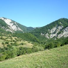
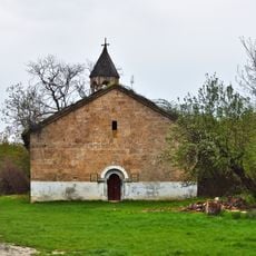
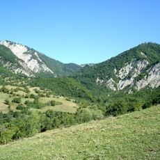
Ujar District is an administrative area in central Azerbaijan, covering a flat lowland territory in the Kura river plain with one city and a number of villages. The terrain is mostly level and open, shaped largely by farming land that spreads across the valley floor.
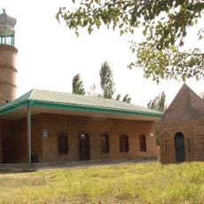
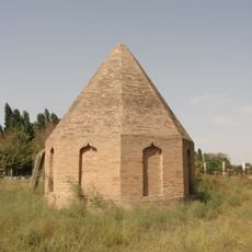
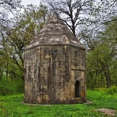
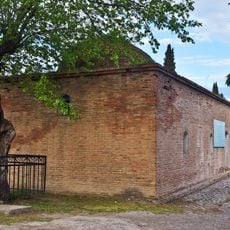
The territory was once part of the Shirvan Beylerbey and passed through several administrative reorganizations before becoming a separate district in 1939. That change took place during the Soviet period, when administrative boundaries across the Caucasus were redrawn.
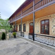
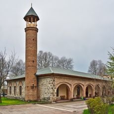
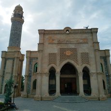
Farming shapes daily life across the villages of this district, and it is common to see people working the fields as you travel through the area. The local markets in smaller settlements reflect how closely the communities here are tied to seasonal rhythms.
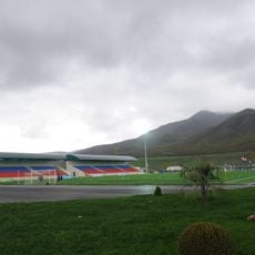
The district sits in the lowland plain and is accessible from the main roads that cross central Azerbaijan. Those planning to visit smaller villages should count on having their own transport, as connections between rural settlements can be infrequent.
The name of this district comes from the Azerbaijani word 'Ucqar', meaning remote or distant, which once described how far the area lay from the centers of power. It is one of the few place names in the region that directly encodes a sense of geographical distance into its identity.
The community of curious travelers
AroundUs brings together thousands of curated places, local tips, and hidden gems, enriched daily by 60,000 contributors worldwide.