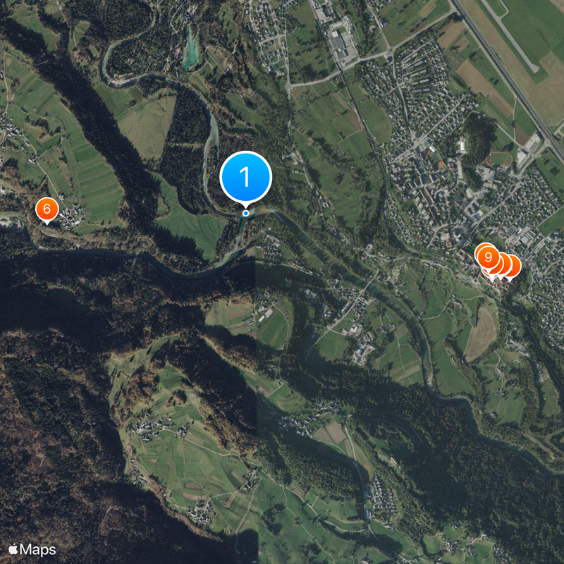
Sava, Major river system in Slovenia and Croatia
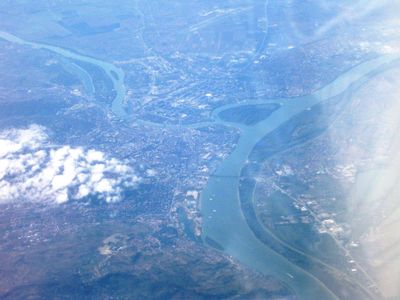
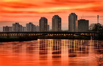
The Sava is a river system in Slovenia and Croatia that stretches nearly 990 kilometers (615 miles) before joining the Danube in Belgrade. The waterway crosses flat plains, forested hills, and urban areas, linking several capital cities across the region.
Greek geographers mentioned the waterway in ancient times as Saos when mapping regions north of the Adriatic. During the medieval period, it often marked boundary lines between competing kingdoms and principalities vying for control over its trade routes.
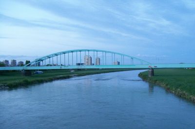
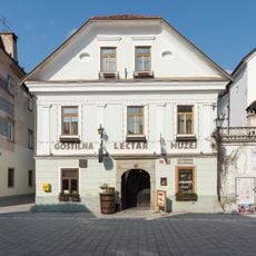
Many settlements along the banks carry names beginning with "Sava," reflecting centuries of life shaped by the waterway. Locals still refer to the river simply as "the big water" in some villages where fishing and river transport remain part of daily routines.
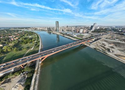
Walking and cycling paths run along both banks in several sections, offering access to quieter riverside areas away from main roads. Some cities have developed waterfront zones suitable for strolling, while more rural stretches remain undeveloped terrain.
The waterway forms both the northern boundary of the Balkan Peninsula and the southern edge of the Pannonian Plain, creating two distinct geographical zones. In some places, the banks shift from gentle plains to hilly foothills within just a few kilometers.
The community of curious travelers
AroundUs brings together thousands of curated places, local tips, and hidden gems, enriched daily by 60,000 contributors worldwide.