Enable Location

We need your location to show you interesting places around you

Discover nearby places

Find interesting locations and hidden gems around you

Precise directions

Get accurate directions and distances to places

Your location is never shared with other users. It's only used when you tap the location button.

Meherpur District

Log in to your account

Start exploring — it's free

Trusted by 62,556 travelers worldwide

Continue with Google
Continue with Apple
or

We will send you a code to connect

By continuing, you accept our Terms and Conditions and our Privacy Policy

Check your inbox

We've sent a pincode in your inbox. Please enter the code below.

Meherpur District, Administrative district in Khulna Division, Bangladesh

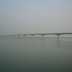
The district covers an area in southwestern Bangladesh and shares borders with West Bengal, India, and the neighboring districts of Kushtia and Chuadanga. It divides into three administrative subdivisions, with Meherpur town serving as the main administrative center.

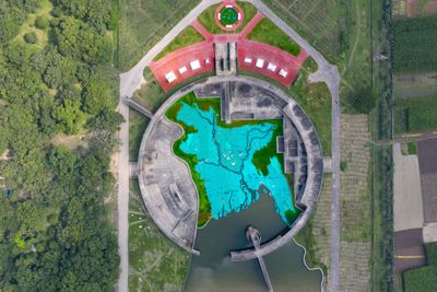
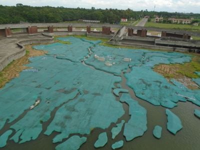
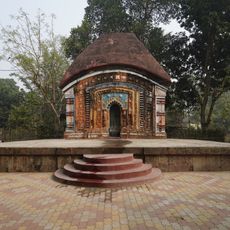
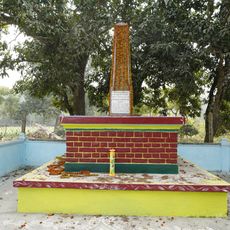
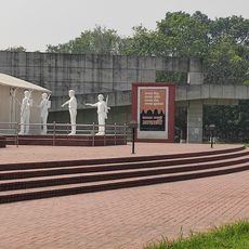
The district gained historical importance on April 17, 1971, when the first provisional government of Bangladesh formed in a village that became known as Mujibnagar. This event connected the region to the country's independence movement and remains a defining moment in its past.

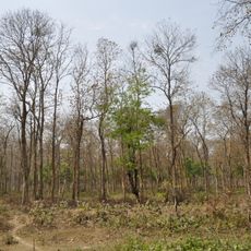
The area maintains Bengali musical traditions through Baul songs and local performance gatherings that happen throughout the year. These events reflect the artistic heritage that communities have kept alive for generations.

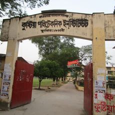
The area spreads across three administrative subdivisions, each offering local services and facilities for travelers. The best time to visit is during cooler months when weather conditions are more favorable for moving around and exploring.

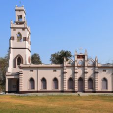
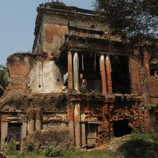
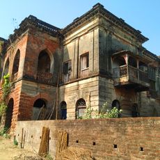
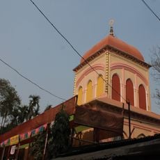
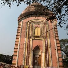
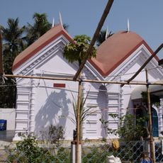
The name comes from Meher Ali Shah, a 16th-century dervish whose religious teachings shaped the spiritual life of this region. His influence helped form the cultural and social character that the area carries forward today.

The community of curious travelers

AroundUs brings together thousands of curated places, local tips, and hidden gems, enriched daily by 60,000 contributors worldwide.

Start exploring
Location
Capital city
Meherpur
Elevation above the sea
17 m
Shares border with
Kushtia District, Chuadanga District, Nadia district
GPS coordinates
23.75000,88.70000
Latest update
December 27, 2025 12:55
« Meherpur District - Administrative district in Khulna Division, Bangladesh » is provided by Around Us (aroundus.com). Images and texts are derived from Wikimedia project under a Creative Commons license. You are allowed to copy, distribute, and modify copies of this page, under the conditions set by the license, as long as this note is clearly visible.

Discover hidden gems everywhere you go!

From secret cafés to breathtaking viewpoints, skip the crowded tourist spots and find places that match your style. Our app makes it easy with voice search, smart filtering, route optimization, and insider tips from travelers worldwide. Download now for the complete mobile experience.

Around Us App Screenshot

A unique approach to discovering new places

Le Figaro

All the places worth exploring

France Info

A tailor-made excursion in just a few clicks

20 Minutes

Around Us
Travel Guide & Maps
Download

Send to your phone

QR Code
1

Open the camera app on your mobile.

2

Point at the QR code with your camera. A notification will appear.

3

Tap the notification to open the link.