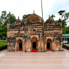
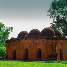
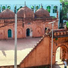
Noakhali District, Administrative district in Chattogram Division, Bangladesh
Noakhali is an administrative district in Chattogram Division in southeastern Bangladesh, situated between the Meghna estuary and the Bay of Bengal. The area consists of low-lying alluvial plains and a network of river channels that wind through fields and small settlements.
The district was originally known as Bhulua before receiving its current name in 1868. During the 1971 war of independence, the region saw several important military confrontations.
The name Noakhali translates to "new canal" and refers to the waterways that have shaped settlement patterns across the region. Villages often follow river courses, and many residents continue to farm rice and fish, activities that define daily rhythms here.
Administration is spread across several subdivisions, each containing larger towns with schools and markets. Roads connect the centers, though movement can be difficult during heavy rains.
The yearly deposits from the Meghna cause the shoreline to shift over time, creating new land in some areas. This natural process can be observed within a few years in certain locations.
The community of curious travelers
AroundUs brings together thousands of curated places, local tips, and hidden gems, enriched daily by 60,000 contributors worldwide.