Sunamganj District, Administrative district in Sylhet Division, Bangladesh.
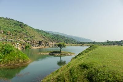
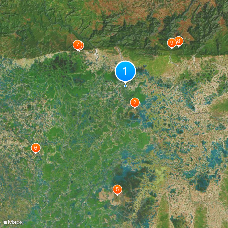
Sunamganj District lies in northeastern Bangladesh and spans hilly terrain with numerous villages and waterways. The area is divided into several administrative subdivisions, each with its own town centers and rural communities.
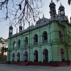
The area was once part of the ancient Laur Kingdom and was later influenced by the Muslim conquest of Sylhet in 1303. It became a separate administrative district in 1984 and has since played an important role in regional governance.
Local communities perform traditional arts like Haljatra and Gormar dances at gatherings and festivals throughout the villages. These art forms remain part of everyday cultural life and help shape the identity of the region.
The area contains several administrative subdivisions with their own centers and travel routes, allowing for varied exploration. Local transportation like buses and boats works best for getting around, as many villages are spread across hilly terrain.
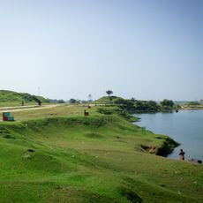
Tanguar Haor, a large inland water body in Tahirpur Upazila, serves as a major site for freshwater fish farming and supports the livelihoods of many villagers. This water area also draws visitors interested in exploring its natural diversity and local ways of life.
The community of curious travelers
AroundUs brings together thousands of curated places, local tips, and hidden gems, enriched daily by 60,000 contributors worldwide.