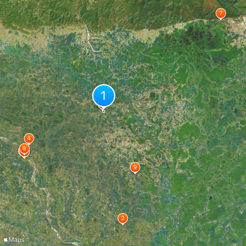
Netrokona District, Administrative district in Mymensingh Division, Bangladesh
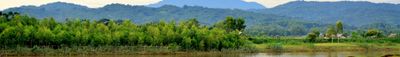
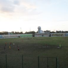
Netrokona is an administrative district in northern Bangladesh with five major rivers running through it and extensive farmland near the Indian border. The territory spans roughly 2,800 square kilometers and contains numerous towns and villages connected by roads and waterways.
The region was established as a mahakuma under British rule in 1880 and later reorganized into a full district in 1984 following Bangladesh's independence. This transition reflects how administrative boundaries evolved as the country developed its own governance structure.
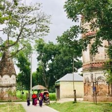
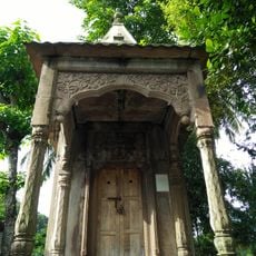
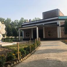
Religious buildings of different faiths stand scattered throughout neighborhoods and villages, where people of various backgrounds share the same towns and spaces. This daily coexistence shapes the social fabric and shows how communities practice their traditions side by side.
Roads connect towns and villages throughout the district, though they can be affected by flooding during the monsoon season, so travel timing matters. Many settlements are located near rivers, making boats and ferries essential transportation during heavy rains.
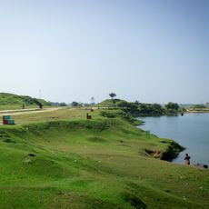
The southeastern section becomes a haor during monsoon months, transforming into shallow wetlands that attract fish and birds to temporary waters. This seasonal shift creates a completely different landscape that appears and disappears with the rains.
The community of curious travelers
AroundUs brings together thousands of curated places, local tips, and hidden gems, enriched daily by 60,000 contributors worldwide.