
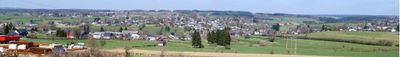
Amel, municipality in Wallonia, East Belgium
Location: Arrondissement of Verviers
Location: Province of Liege
Location: German-speaking Community of Belgium
Capital city: Amel
Part of: Emergency zone Liège 6, Politiezone Eifel
Shares border with: Büllingen, Bütgenbach, Sankt Vith
Phone: +3280348110
Email: info@amel.be
Website: https://amel.be
GPS coordinates: 50.35390,6.16920
Latest update: May 27, 2025 17:31
Schloss Wallerode
6.4 km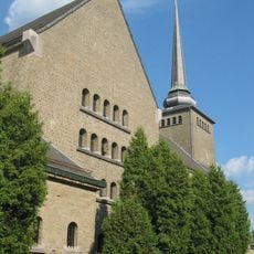
Kirche Sankt Vith
8.6 km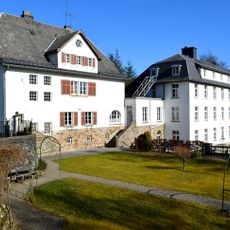
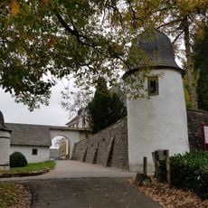
Kloster Sankt Raphael
3.7 km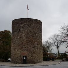
Büchelturm
8.9 km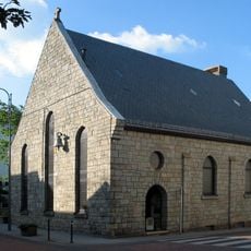
Sankt Katherinenkapelle
8.6 km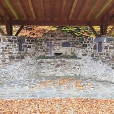
Hermitage Kohlkaul
6.2 km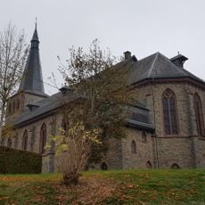
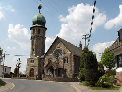
Kirche St. Hubertus
95 m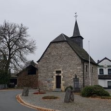
Kapelle St. Barbara
3 km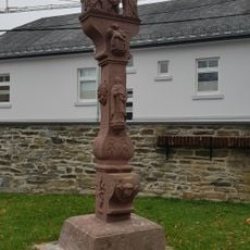
Marktkreuz
63 m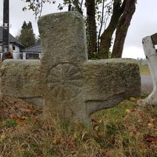
Kreuz auf der Flins
8.4 km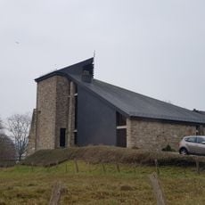
St.-Barbara-Kirche
2.9 km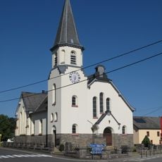
Kirche Sankt Michael
7.2 km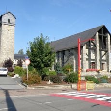
Kirche der heilige Familie
2.2 km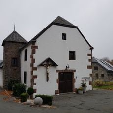
Antoniushäuschen
128 m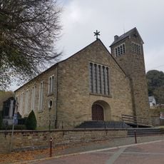
Kirche St. Kornelius
10.2 km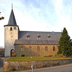
Kirche St. Martin
3.1 km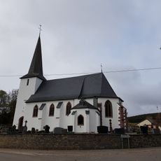
Kirche St. Laurentius
8.9 km
Antoniusbaum
8.4 km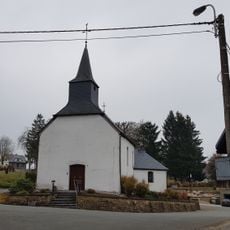
Kapelle St. Sebastian
1.1 km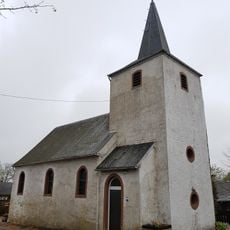
Kapelle St. Kornelius
8.9 km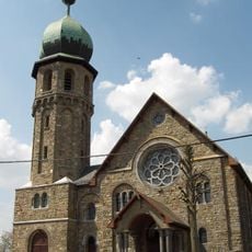
Kirche der Unbefleckten Empfängnis
3.6 km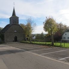
Kapelle Sankt Quirinus
1.4 km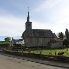
Sankt Lambertuskapelle
2.2 km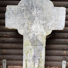
Grawet Kreuz
4.7 km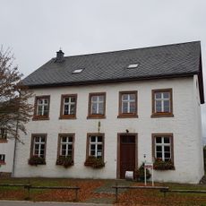
Alte Schule Nieder-Emmels
7.2 km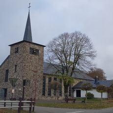
Sankt Georg Kirche
9.9 km
Römerwall
8.6 km
Hof Schoppen
4.2 kmVisited this place? Tap the stars to rate it and share your experience / photos with the community! Try now! You can cancel it anytime.
Discover hidden gems everywhere you go!
From secret cafés to breathtaking viewpoints, skip the crowded tourist spots and find places that match your style. Our app makes it easy with voice search, smart filtering, route optimization, and insider tips from travelers worldwide. Download now for the complete mobile experience.

A unique approach to discovering new places❞
— Le Figaro
All the places worth exploring❞
— France Info
A tailor-made excursion in just a few clicks❞
— 20 Minutes