
Olne, municipality in Wallonia, Belgium
Location: Arrondissement of Verviers
Capital city: Olne
Part of: Zone de police Pays de Herve, Emergency zone Vesdre - Hoëgne & Plateau
Shares border with: Soumagne, Trooz
Phone: +3287260272
Email: info@olne.be
Website: https://olne.be
GPS coordinates: 50.58333,5.75000
Latest update: May 27, 2025 17:31
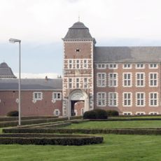
Wégimont Castle
3.4 km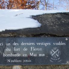
Fort de Fléron
5.6 km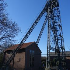
Société anonyme des Charbonnages de Maireux et Bas-Bois
4.1 km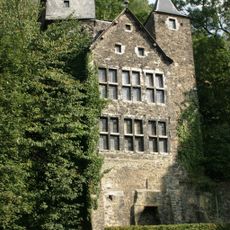
Château de la Fenderie
4.4 km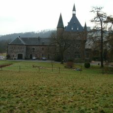
Château du Trumly
4.8 km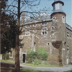
Château de Haute-Fraipont
2.6 km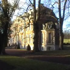
Château de Soiron
3 km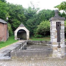
Lavoir
3.1 km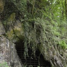
Prehistoric caves of Fonds-de-Forêt
3.8 km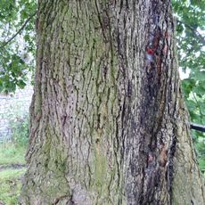
Nail Linden of Olne
2.4 km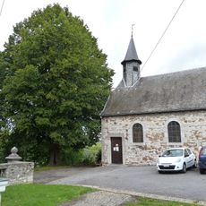
Église Saint-Hadelin
2.4 km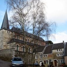
Saint Roch Church
3.1 km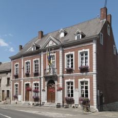
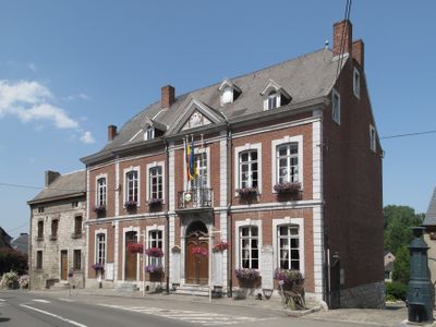
Town hall of Olne
832 m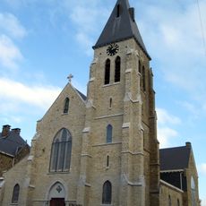
Église Notre-Dame de l'Assomption
3.1 km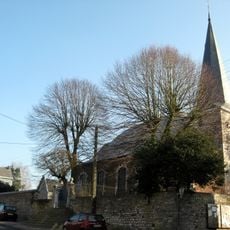
Église Saint-Sébastien
808 m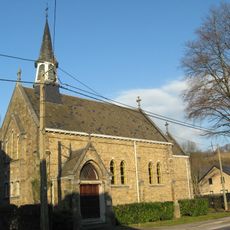
Église annexe de Saint-Alfred et Saint-Georges
4.3 km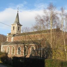
Église Saint-Gilles
2.7 km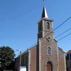
Église Saint-Alexandre
3.2 km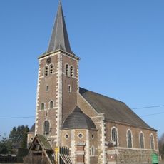
Église Saint-Lambert
3.2 km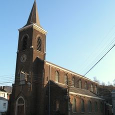
Église Saint-Laurent
5.2 km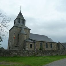
Église Sainte-Catherine
3.5 km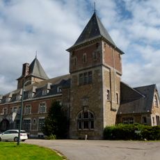
Château de Banneux
3.4 km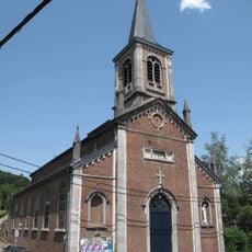
Église Saint-Pierre
1.4 km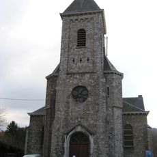
Église Saint-Monon
2.1 km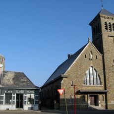
Église Saint-Joseph
3.8 km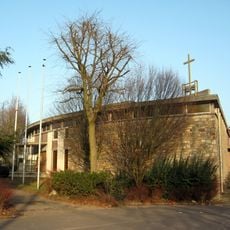
Église Sainte-Famille
5.6 km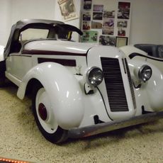
Impéria Nessonvaux Museum
2.8 km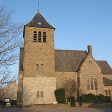
Église paroissiale St-Antoine de Padoue
5.2 kmReviews
Visited this place? Tap the stars to rate it and share your experience / photos with the community! Try now! You can cancel it anytime.
Discover hidden gems everywhere you go!
From secret cafés to breathtaking viewpoints, skip the crowded tourist spots and find places that match your style. Our app makes it easy with voice search, smart filtering, route optimization, and insider tips from travelers worldwide. Download now for the complete mobile experience.

A unique approach to discovering new places❞
— Le Figaro
All the places worth exploring❞
— France Info
A tailor-made excursion in just a few clicks❞
— 20 Minutes