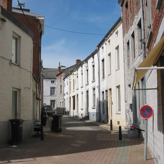
Florennes, municipality in Wallonia, Belgium
The community of curious travelers
AroundUs brings together thousands of curated places, local tips, and hidden gems, enriched daily by 60,000 contributors worldwide.
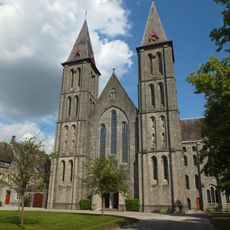
Maredsous Abbey
12.9 km
Circuit Jules Tacheny Mettet
6.6 km
Montaigle Castle
15.7 km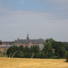
Brogne Abbey
14.3 km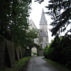
Maredret Abbey
12.1 km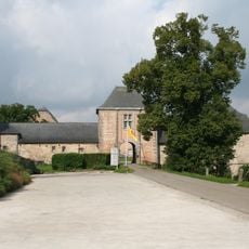
Falaën Castle
13.9 km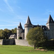
Château de Fontaine
11.8 km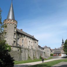
Florennes Castle
247 m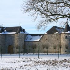
Castle of Tarcienne
10.1 km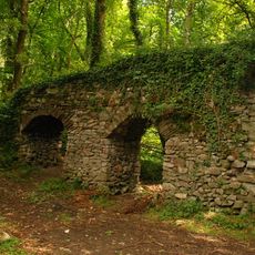
Roman aqueduct of Mettet
8.8 km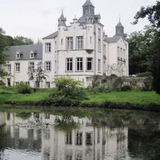
Thozée Castle
10.3 km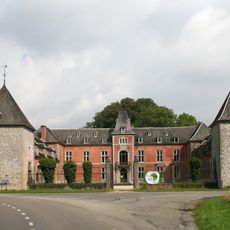
La Forge Castle
10.6 km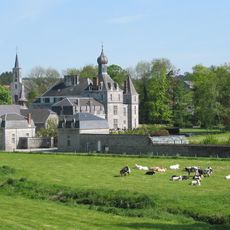
Ermeton Abbey
9.6 km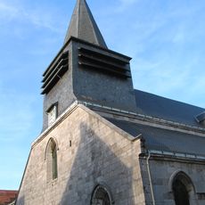
Église Saint-Philippe
7.5 km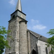
Église Saint-Michel de Gerpinnes
11.1 km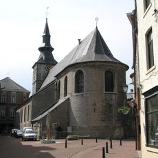
Collégiale Saint-Gangulphe de Florennes
99 m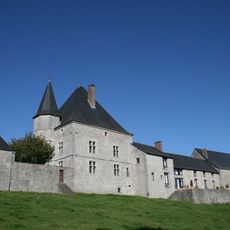
Samart Castle
9.6 km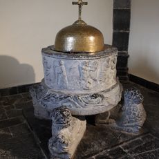
Fonts baptismaux de Furnaux
9.6 km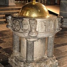
Fonts baptismaux de Gerpinnes
11.1 km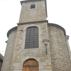
Église Notre-Dame de la Nativité de Sosoye
13.6 km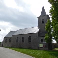
Église d'Omezée
9.4 km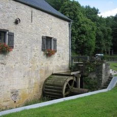
Moulin de Soulme
12.4 kmCity walls of Philippeville
7.5 km
Église Sainte-Colombe de Soulme
11.8 km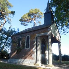
Chapelle Saint-Pierre de Morialmé
5.1 km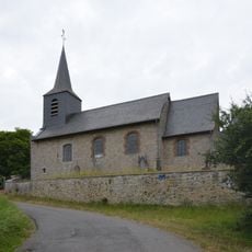
Église Saint-Médard, Samart
9.6 km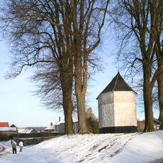
Chapelle Saint-Oger
7.7 km
Point d'observation
14.7 kmDiscover hidden gems everywhere you go!
From secret cafés to breathtaking viewpoints, skip the crowded tourist spots and find places that match your style. Our app makes it easy with voice search, smart filtering, route optimization, and insider tips from travelers worldwide. Download now for the complete mobile experience.

A unique approach to discovering new places❞
— Le Figaro
All the places worth exploring❞
— France Info
A tailor-made excursion in just a few clicks❞
— 20 Minutes
